Note: Click on “Gallery” above if you wish to see all the photos. Only some of them are in the blog itself. Click on “Follow” in the lower right hand corner of the screen if you wish to receive e-mail notification of blog updates.
Leg 5 – Ngunguru to Whangarei, day 1
Monday, 9 September
Ngunguru Ford Rd to Pataua North Rd (14 km)
Sometimes, half an hour or so after you’ve exited a toilet, a kind person will inform you that you’ve inadvertently tucked your skirt into the back of your panties. The things you find out long after you’ve embarrassed yourself! There I was, pronouncing “Ngunguru” like an African: “Nnn-goon-goo-roo”, only to discover that it is pronounced “Noonguroo” with the same syllabic emphases as “kangaroo”. No wonder I got so many funny looks when I spoke about where we were going.
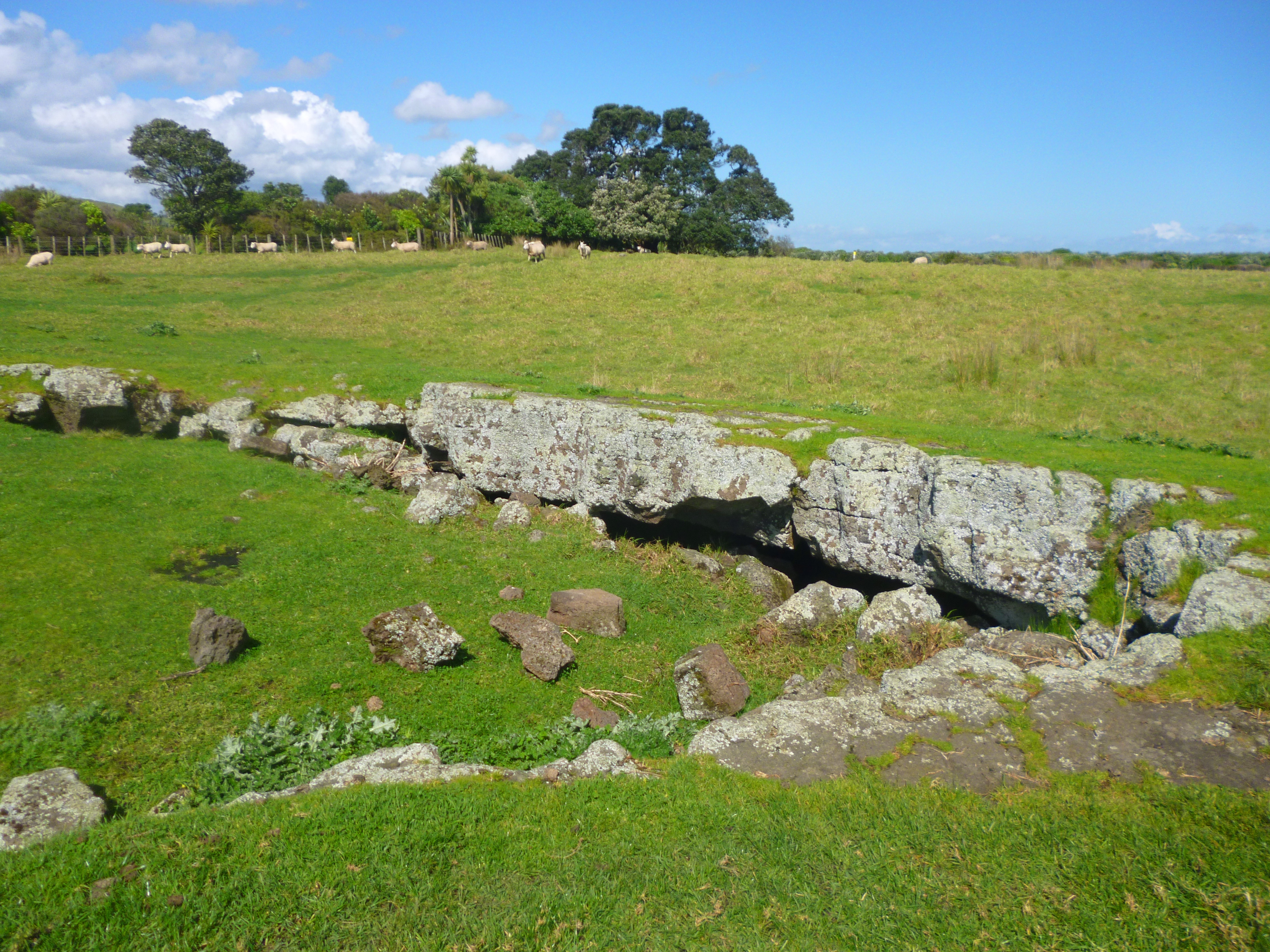
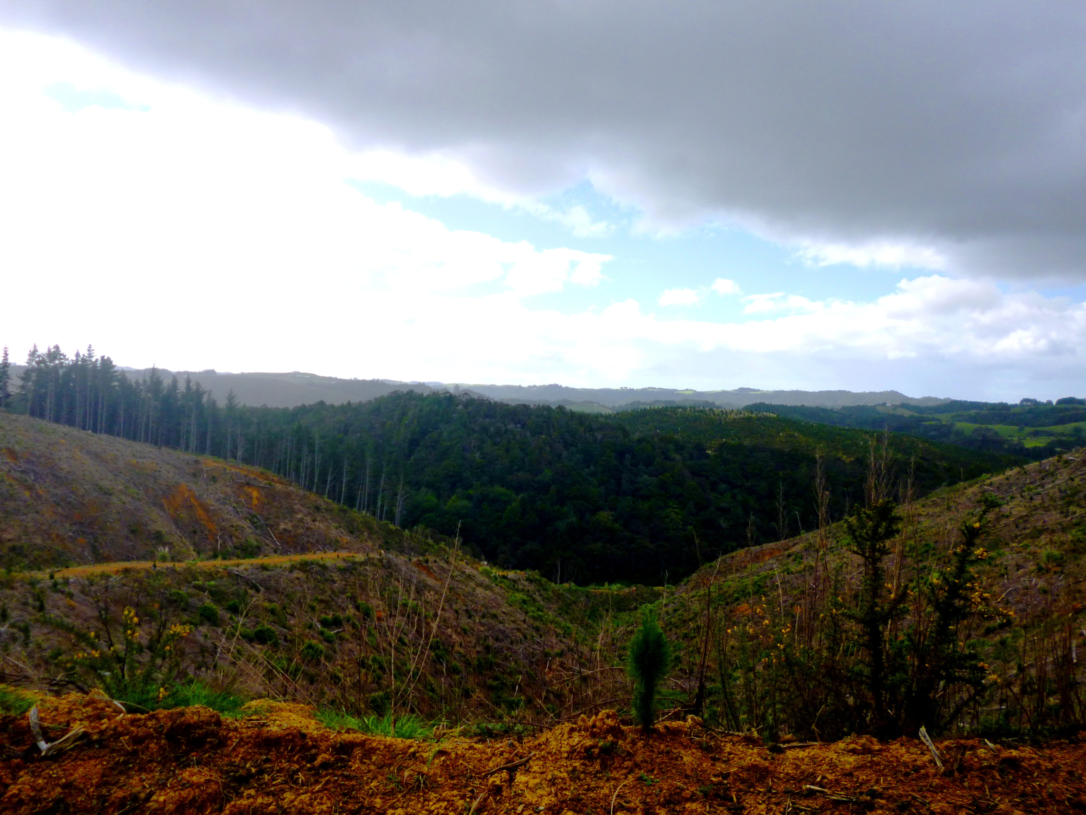
 We began walking near where we were picked up on the long estuary bypass road on 27 August. The Mackerel Forest Track starts and finishes in pine logging areas. Much of it is bleak; the pines have been cut. However, the sections of indigenous forest have some fine native trees.
The track crosses two rivers, the Waitangi and the Taheke. The trail notes warn that the water could be thigh deep, but today we got wet only to our knees. Despite being shallow, the Taheke River had a bossy current which did its best to shove us off balance, so we crossed slowly, facing upstream.
A light rain switched on and off like disco lights for several hours and Hannah’s ankles bothered her, so we were glad to stop on the roadside a few kilometres short of Pataua North. Since much of the roadside comprises mangrove swamp, we were fortunate to find a dry and grassy spot to camp on a farm verge beside a grove of mature trees.
For the first time, Hannah used Coban to support her ankles. This is a kind of elastic bandage that adheres to itself. It is a real win: cheap, strong and disposable.
The night was turbulent with bird cries. Familiar were the voices of pukeko, morepork, plover and paradise duck. New to us was a call that went “hurr hurr hurr peeyew peeyew peeyew”. Another strange bird simply shrieked madly, sounding as if it were in the midst of a psychotic episode. I wanted to offer it a pat and a few words of consolation: “There, there dear. Been there, done that, got the plumage and all.”
Leg 5 – Ngunguru to Whangarei, day 2
Tuesday, 10 September
Pataua North Rd to Ocean Beach (21 km – 20.6 km on road and track, 400 m on water)
It took two hours for Hannah to get going this morning; she was tired and felt weighed down. Her medication makes her drowsy, so sometimes getting up and walking involves considerable effort.
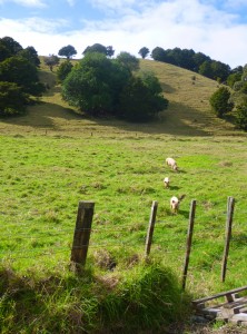
We headed to Pataua, passing more farms, where we saw three cheerful piggies snouting around in a field. This is how domestic pigs ought to live, rather than being crammed into batteries. They looked clean, healthy and peaceful. When we stopped to admire them, they ran, joyfully grunting, towards us. We laughed until we realised the fence was broken and they could escape onto the road. We departed, with a piglet following for a short distance before losing interest in us. Thank goodness. We didn’t want to be responsible for a Pataua North version of Pigling Bland.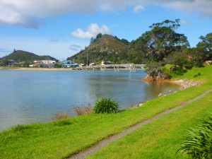
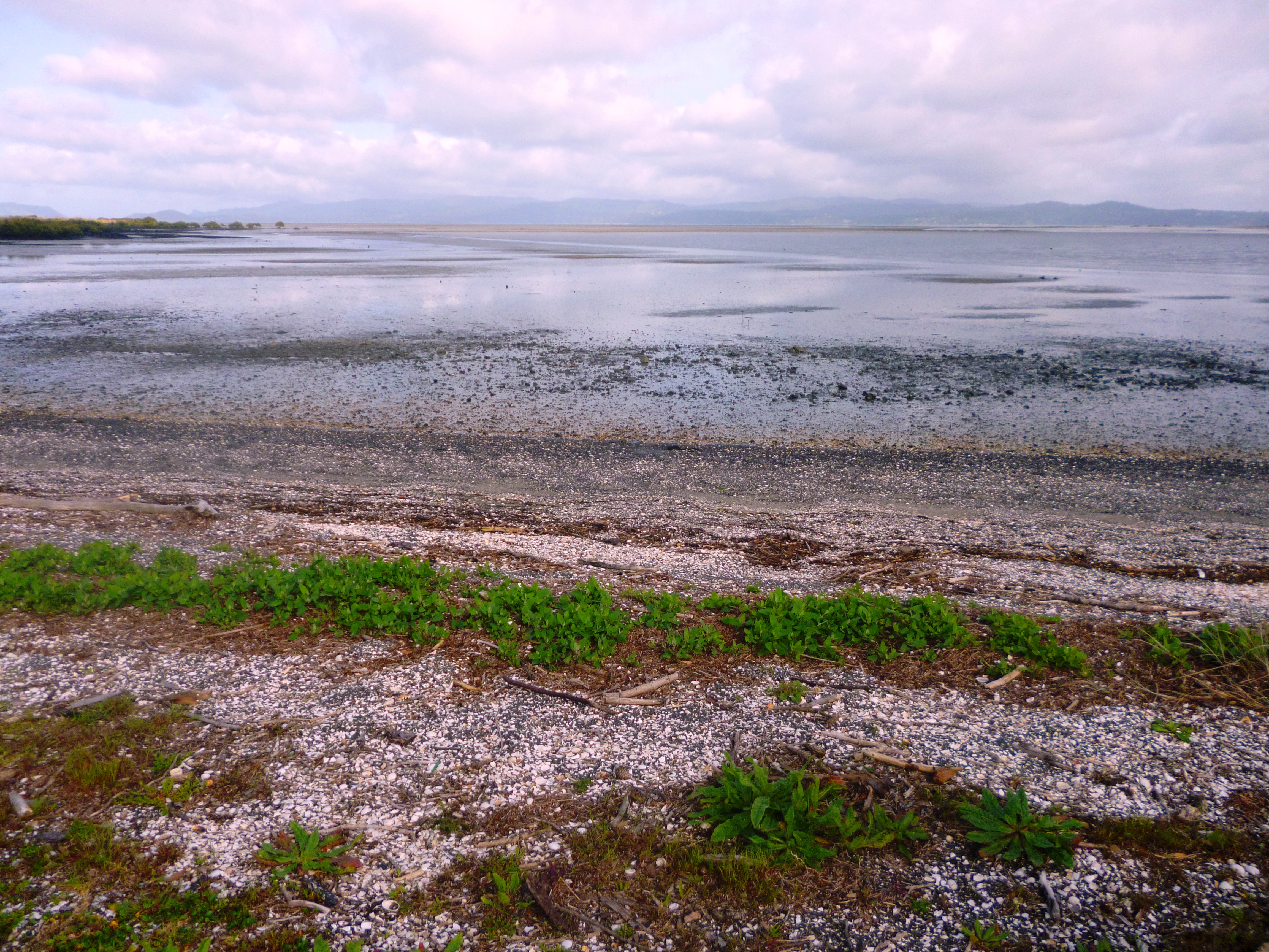
At the settlement, the road ends and a footbridge joins it to Pataua South. The Taiharuru Estuary is mighty pretty, but once over the footbridge you can only resume the Te Araroa trail at low tide. The track goes through the mangrove mudflats before heading back to the shore and up to farmland and Kauri Mountain.
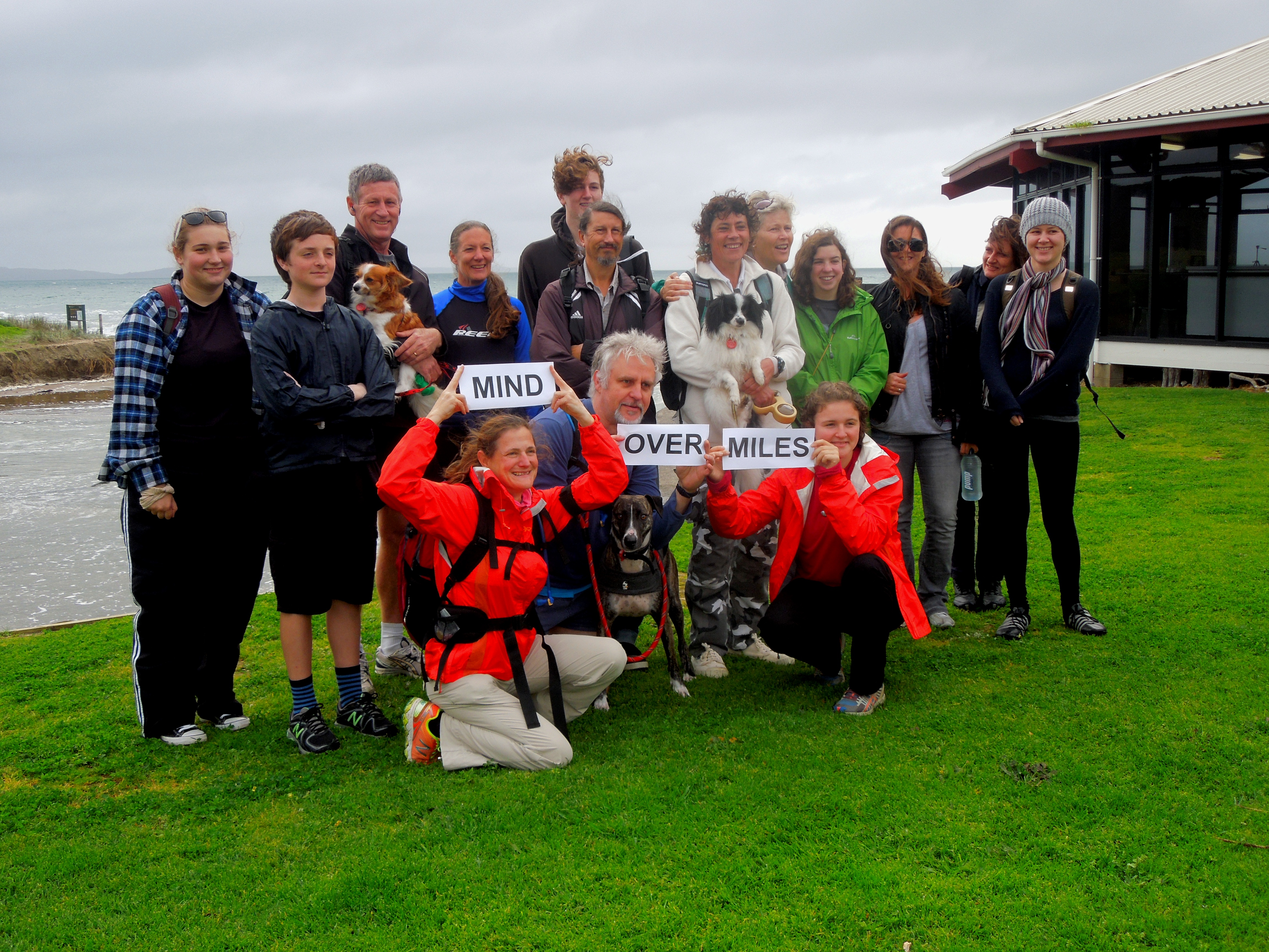
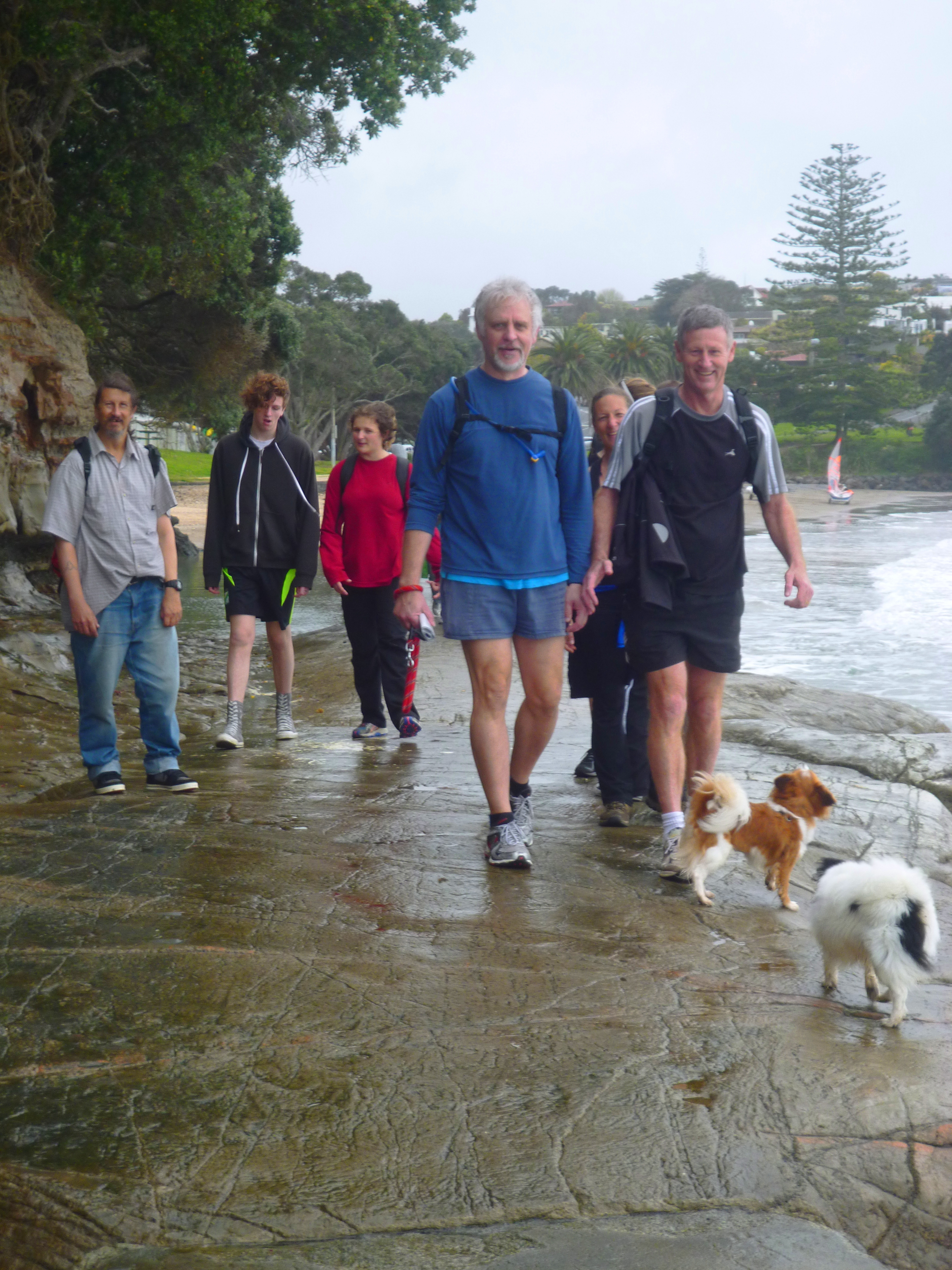
We had arrived about six hours ahead of the lowest point of low tide. A decision had to be made: to wait until the tide was out, cross on foot and then struggle to find a place to camp as darkness fell, or to make the crossing now, with help. We phoned Ros and Hugh of Tidesong, and these dear souls picked us up, provided coffee and an entire batch of scones, and then took us across the water in their boat, so we didn’t even get our feet wet. Hannah started cheering up at once. It is amazing what food can do for a depressed and exhausted teen.
I was thrilled when Ros pointed out the B&B resident flounder under the walkway to the jetty. I had never seen one in the wild before. They know it is the same one each time, because it has an identifying nick in its tail. It lay almost invisible while its sides fluttered gently, before it twitched away through a puff of mangrove silt.
 Crossing early was the right thing to do because we found nowhere suitable to camp until hours later. We’ll have to go back another time and fill in those 3 km of trail we had to bypass in Pataua South.
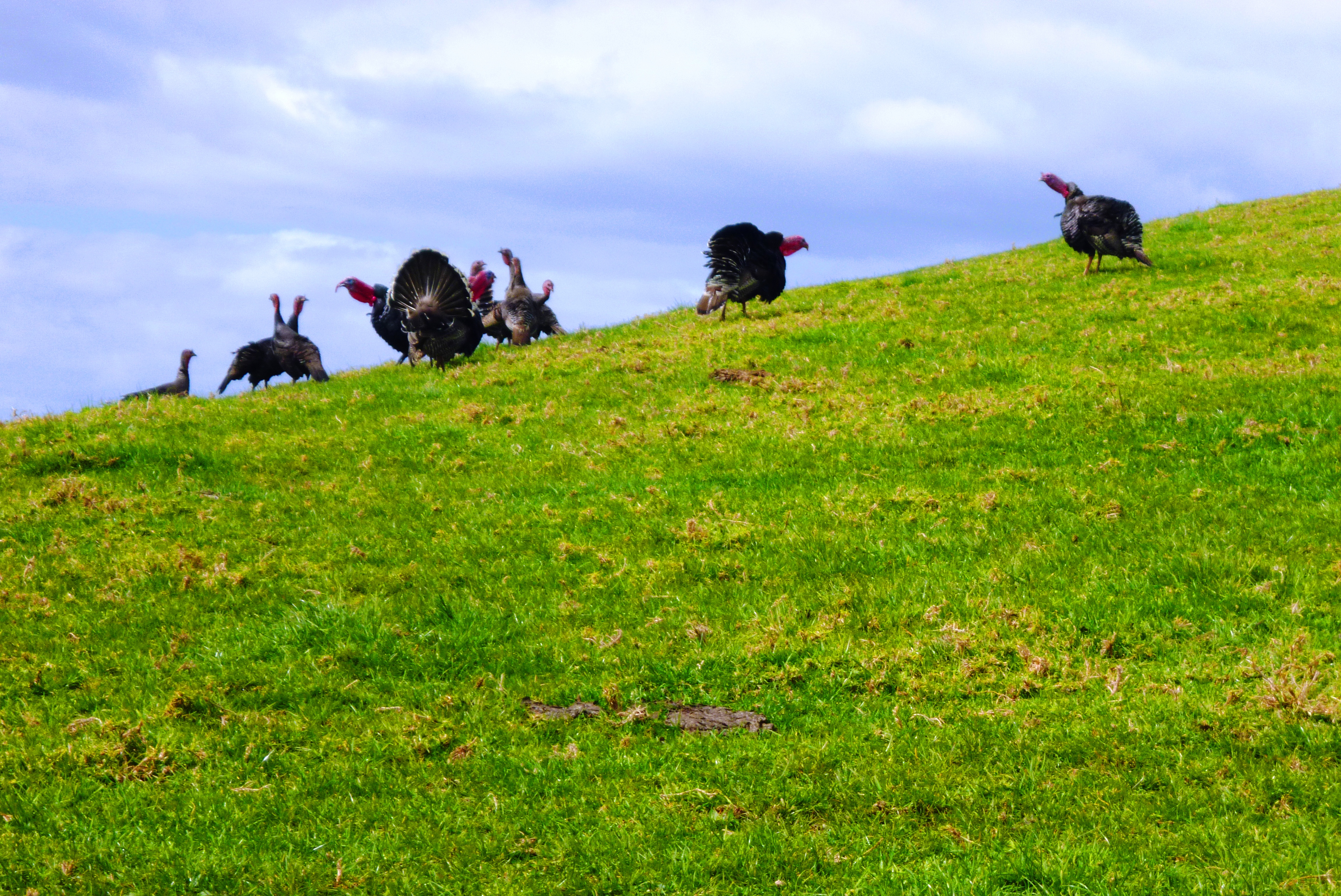
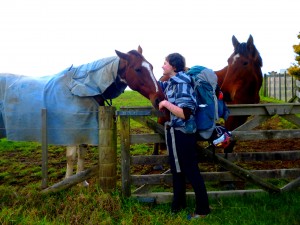
The day continued to be cheerful. Two horses on Kauri Mountain gratified Hannah by vying for her attention at their pasture gate. Shortly thereafter, we came across a flock of turkeys on the hillside, profiled against the sky. The males were in display mode, fanning their tails. Does anyone take turkeys seriously? I made gobbling noises and immediately all the birds stuck out their inflamed-looking necks at 45 degrees and chorused a reply. After laughing a lot, Hannah said, “I bet I can evoke that response too!” and made a turkey noise. The flock was silent, but as soon as I repeated my noises, the whole lot of them shouted back superbly. I have just the right touch, you know. Noble horses may seek Hannah out with their soft natures and sweet grassy breath, but turkeys actually confide in me. Watch this space for details of my searing new novel about the New Zealand frontier: Gobbles with turkeys.
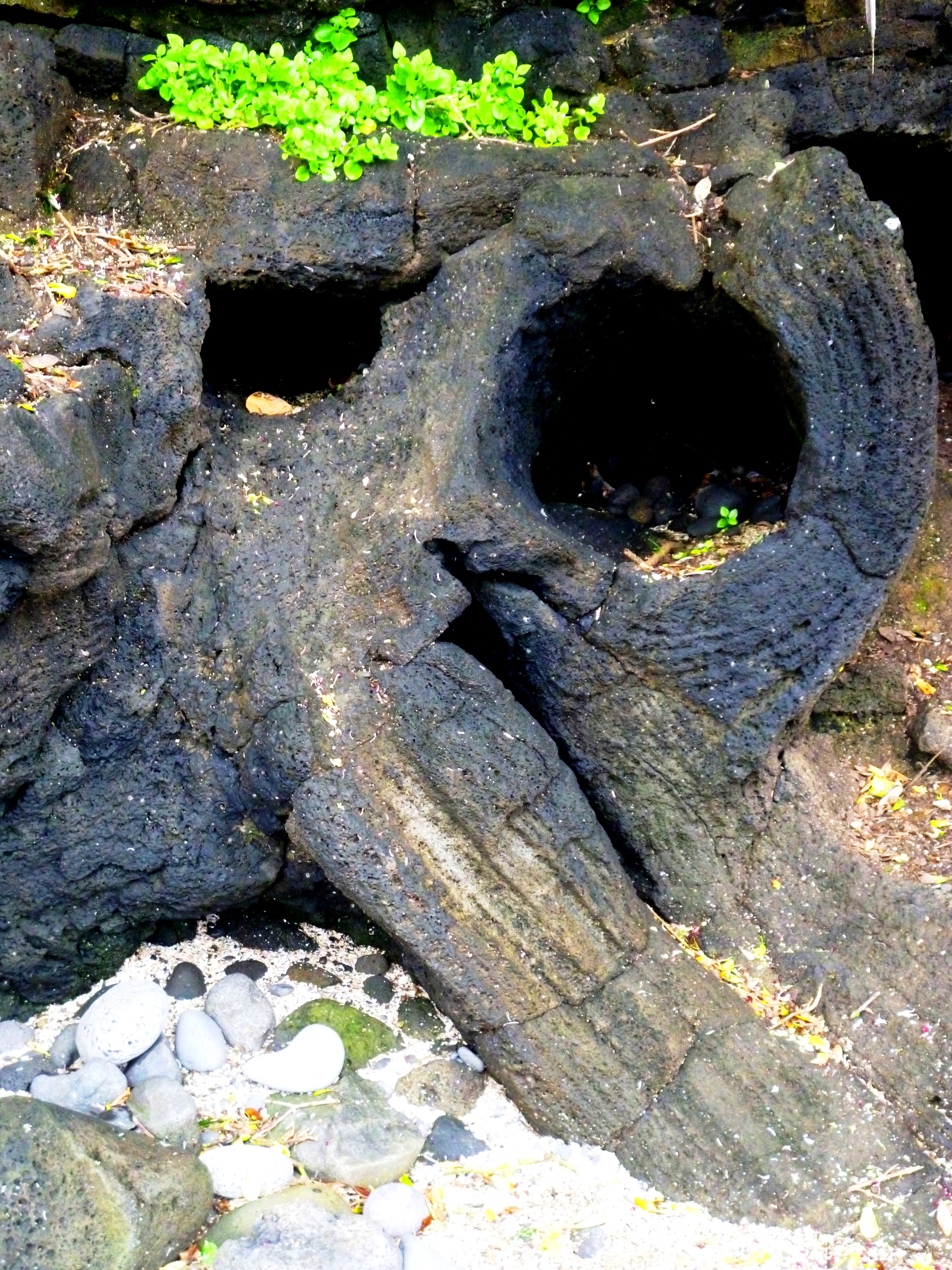
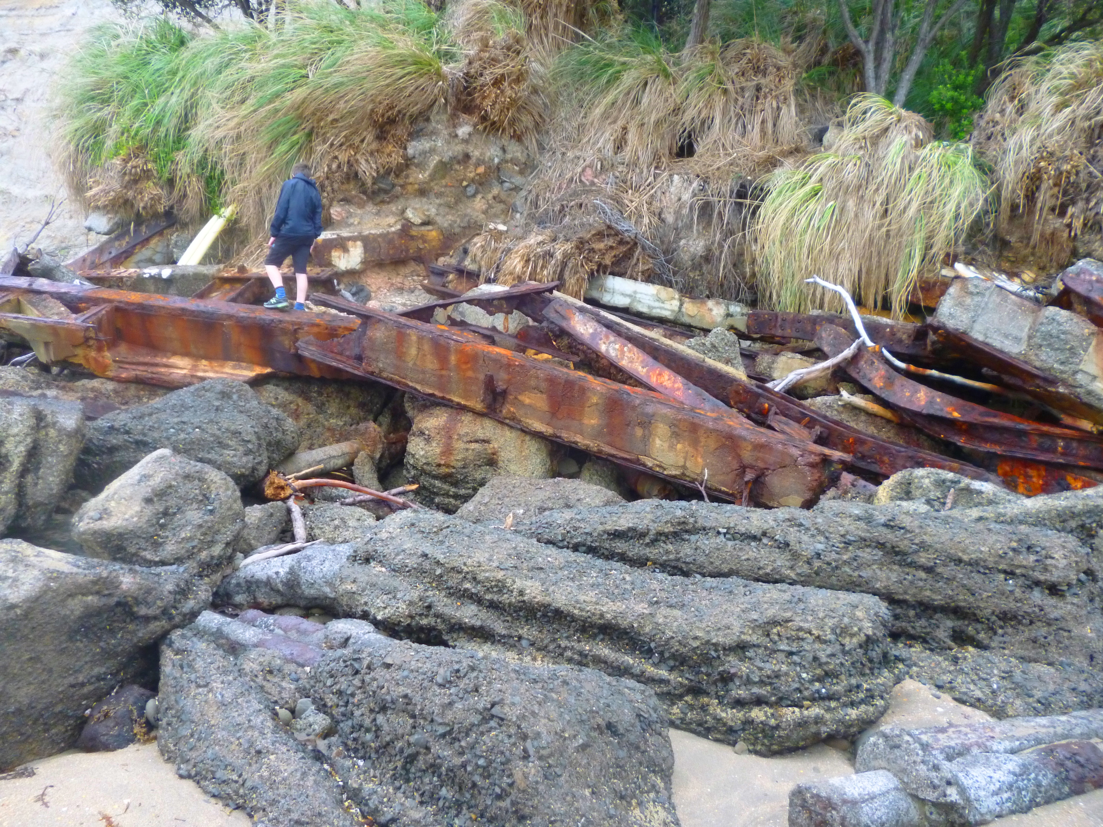
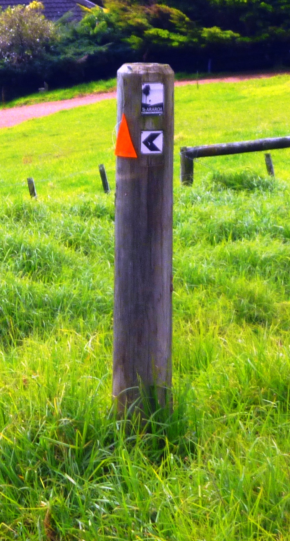
 On Kauri mountain we had another disorienting trail sign moment. On this post, the black chevron indicates one direction and the orange triangle another. We initially obeyed the orange triangle, but the GPS and then a resident informed us that the black chevron was the correct indicator.
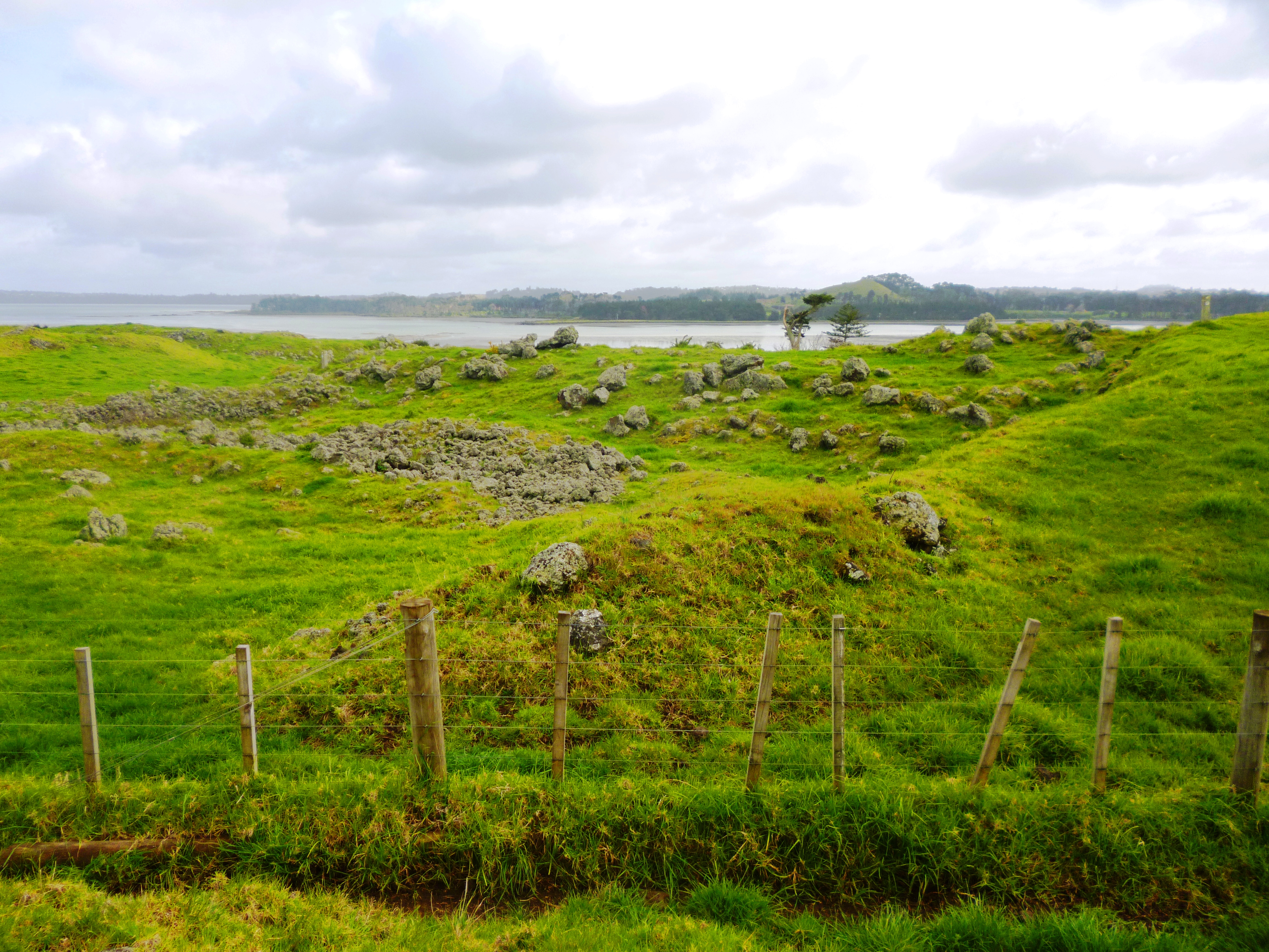
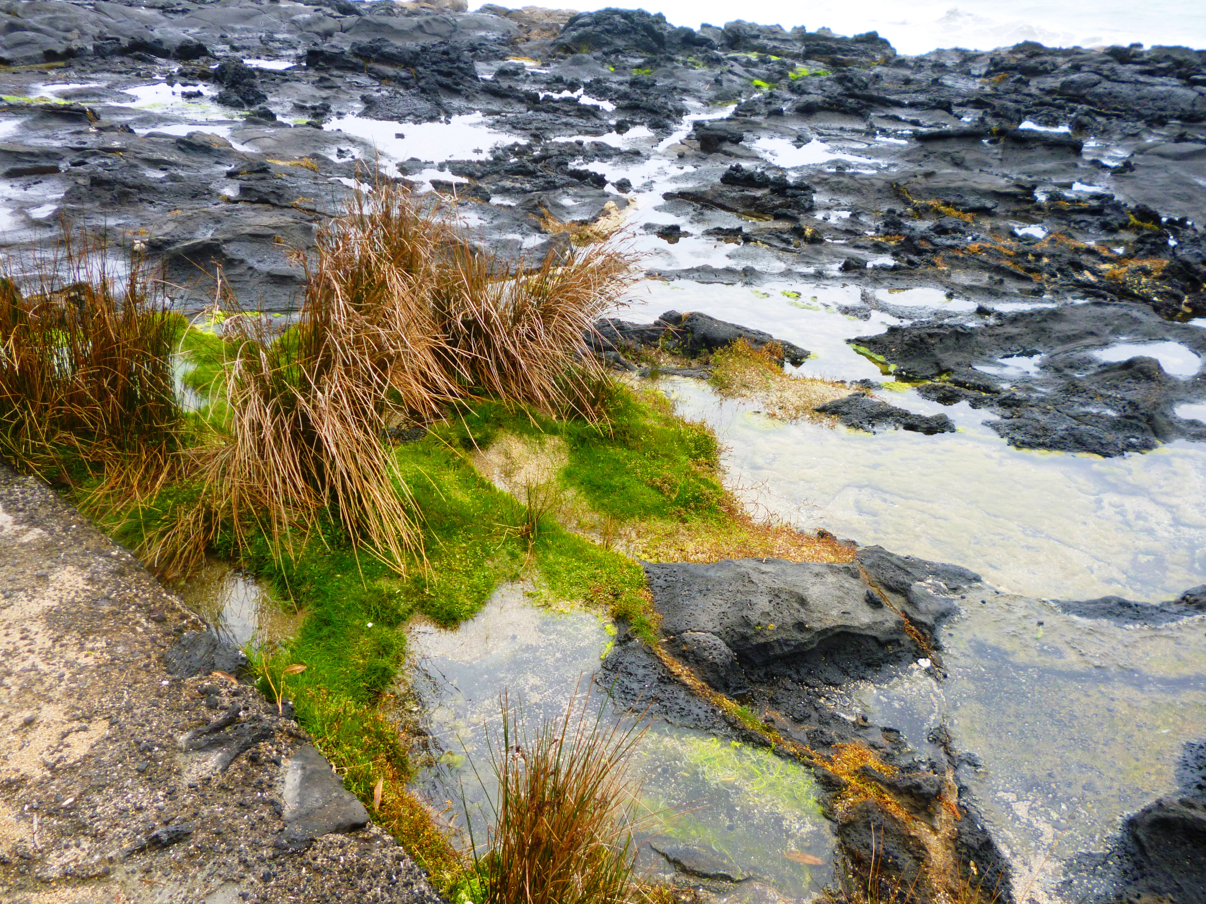
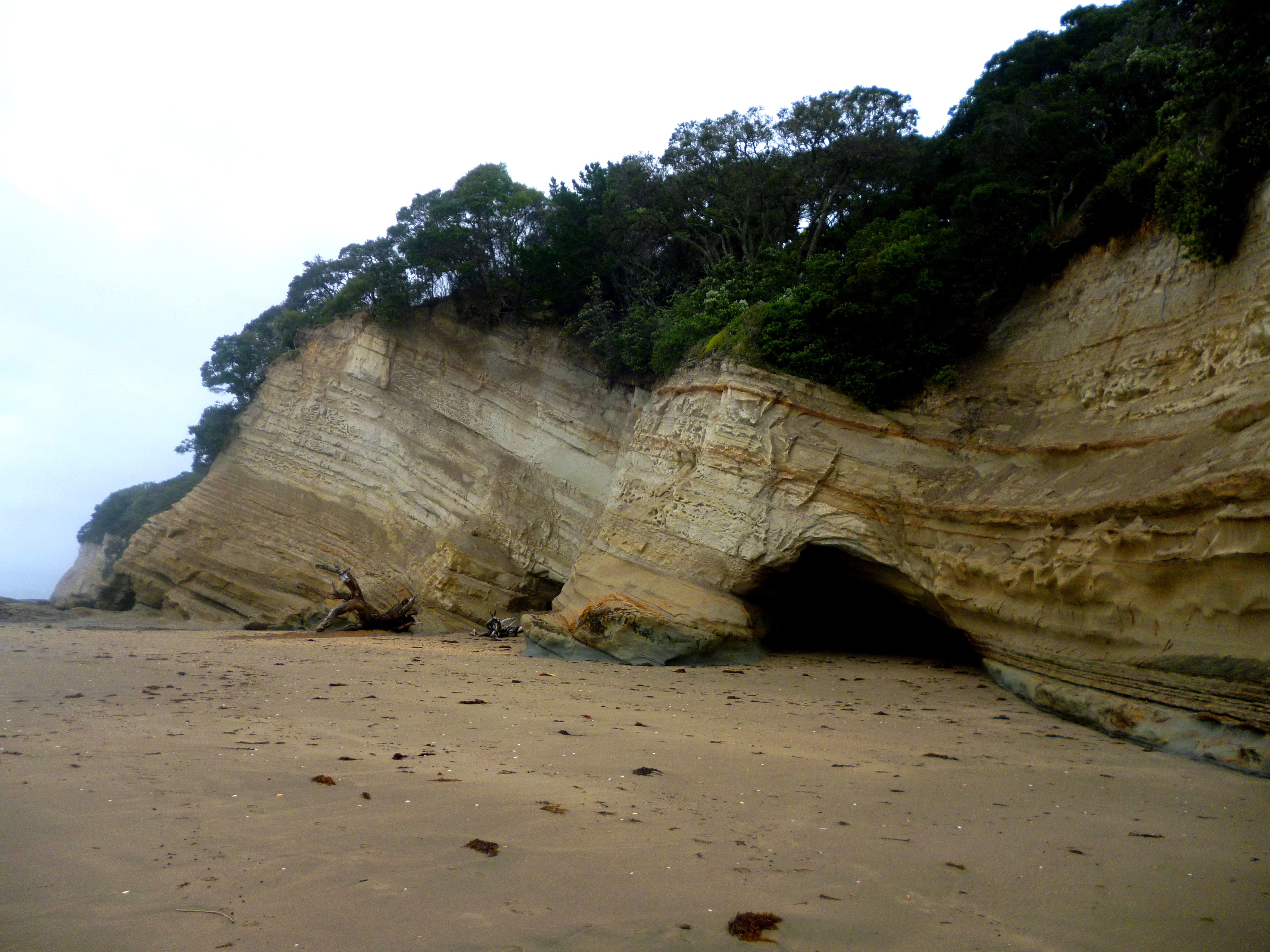
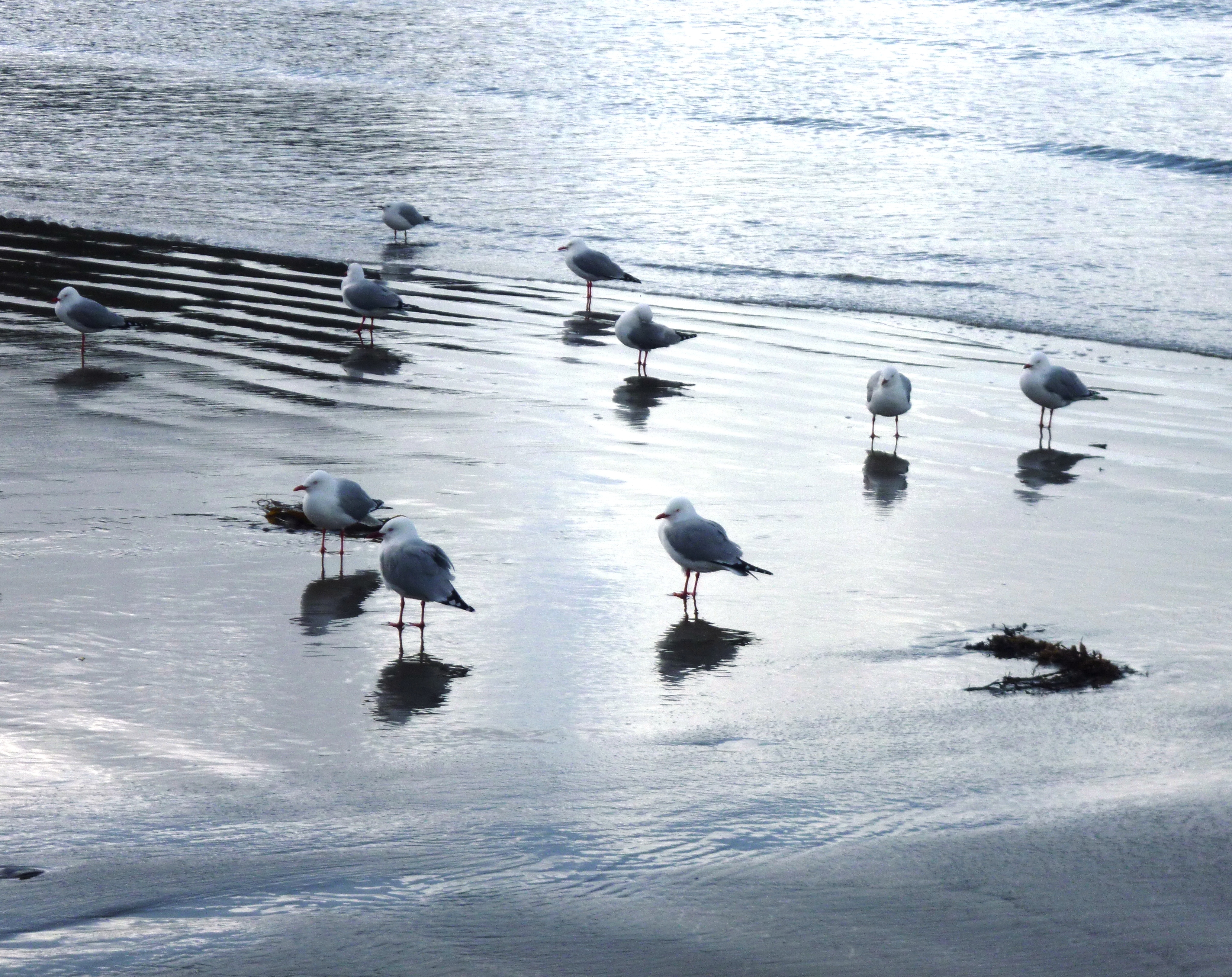
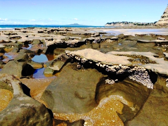
From Kauri mountain we descended to the Ocean Beach track. I have yet to see a beach in this country that is not beautiful. We had 6 km of calendar views and fantastic shells. We found tiny red ones which we had not seen on any other beach. We collected some of 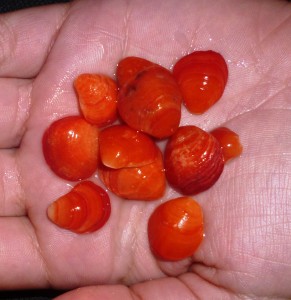 these for our mermaid’s mirror.
As we pitched Samson on a dune in the late afternoon, we noticed a helicopter droning around Bream Head. What was it doing? Two possibilities came to mind: 1) Some unlucky trampers were lost or hurt on the mountain, and the rescue team was out looking for 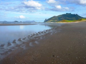 them; 2) News of our undimmed glamour, celebrity status and geographical location had leaked out, and the helicopter was crammed with international paparazzi looking for us, hoping for shots of Hannah foaming at the mouth with toothpaste, or of my shapeless trail nightie tucked into the back of my panties.
Leg 5 – Ngunguru to Whangarei, day 3
Wednesday, 11 September
Ocean Beach to Little Munroe Bay, Whangarei (12 km)
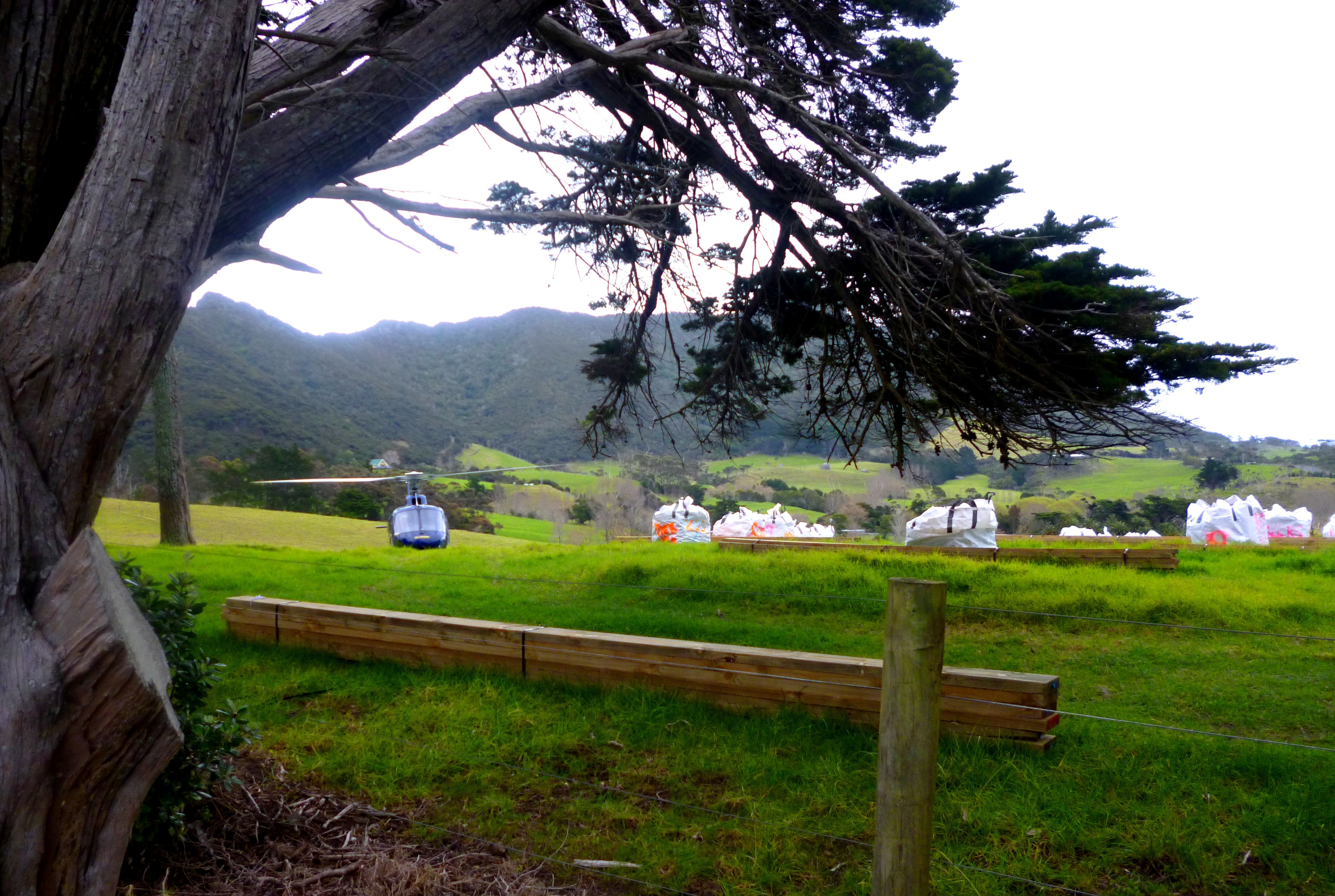
There are two places where one can start the Bream Head Track. One is from the beach (and this is marked on the TA online map), and the other is from a short distance SW 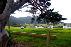 down Ocean Beach Rd, where the track to Peach Cove heads south. (This is the one described in Geoff Chapple’s guide to the TA route.) Fortunately, we bumped into a DOC official in the car park at Ocean Beach and he said: “The first part of the track is closed at the moment, due to upgrading. You must have seen the helicopter? It’s carrying materials up to the maintenance sites. You could be turned back if you take the trail from the beach, but you’ll be fine joining the Bream Head Track from the Peach Cove route.” So now we knew!
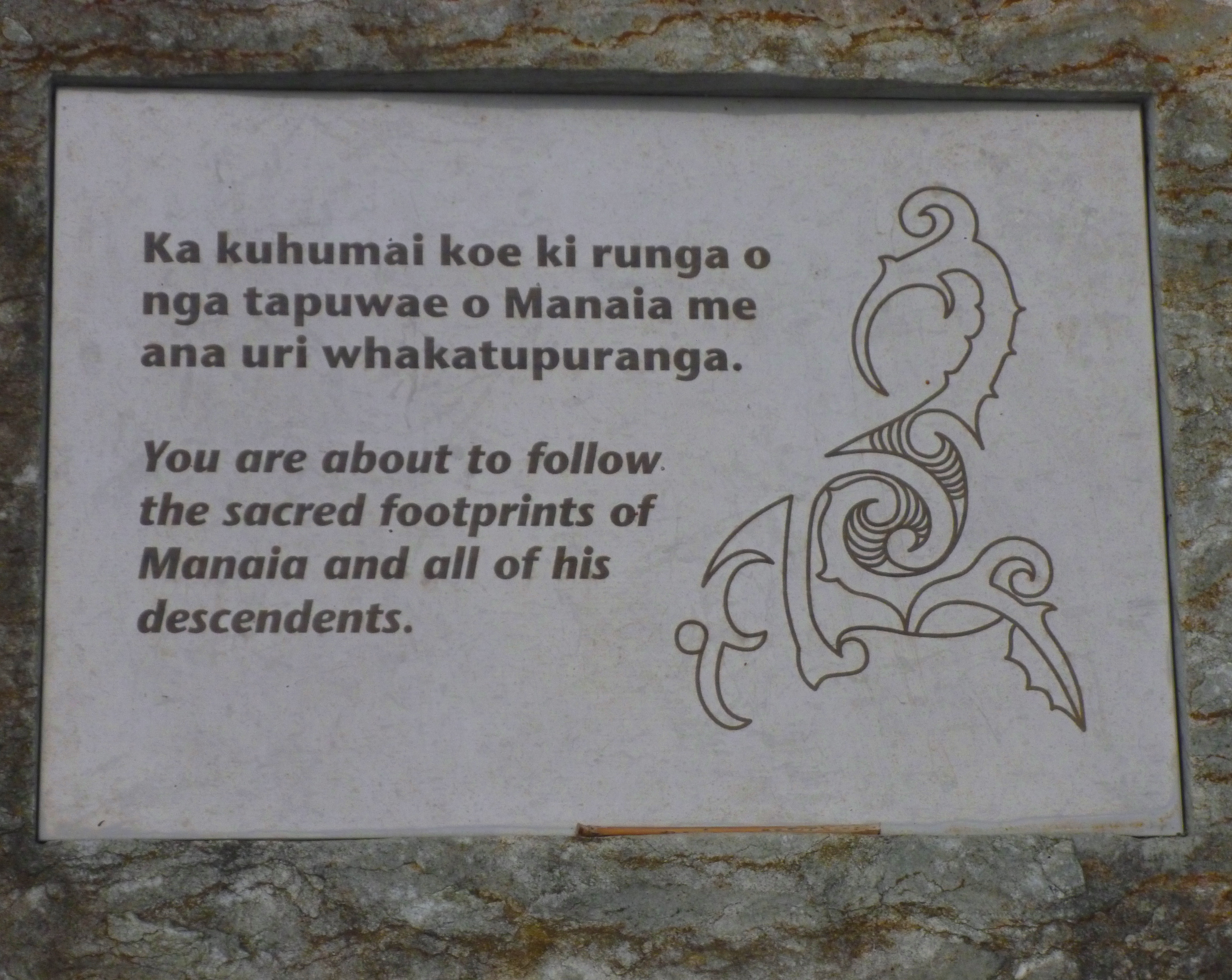
At the start of the Peach Cove Track, there is a field where the upgrade materials are stockpiled. We saw the helicopter coming in to land there, bang on cue as we turned 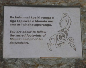 south. There we found a plaque on a rock: “You are about to follow the sacred footprints of Manaia and all of his descendents”. It is a pity about the spelling error. Something which has cultural significance and a financial cost should be proofread before production. However, full marks go to the DOC for the beautifully executed upgrade on the western section of the Bream Head Track. The steepest parts had well-carpentered stairs with gravel and plastic webbing for traction in wet weather.
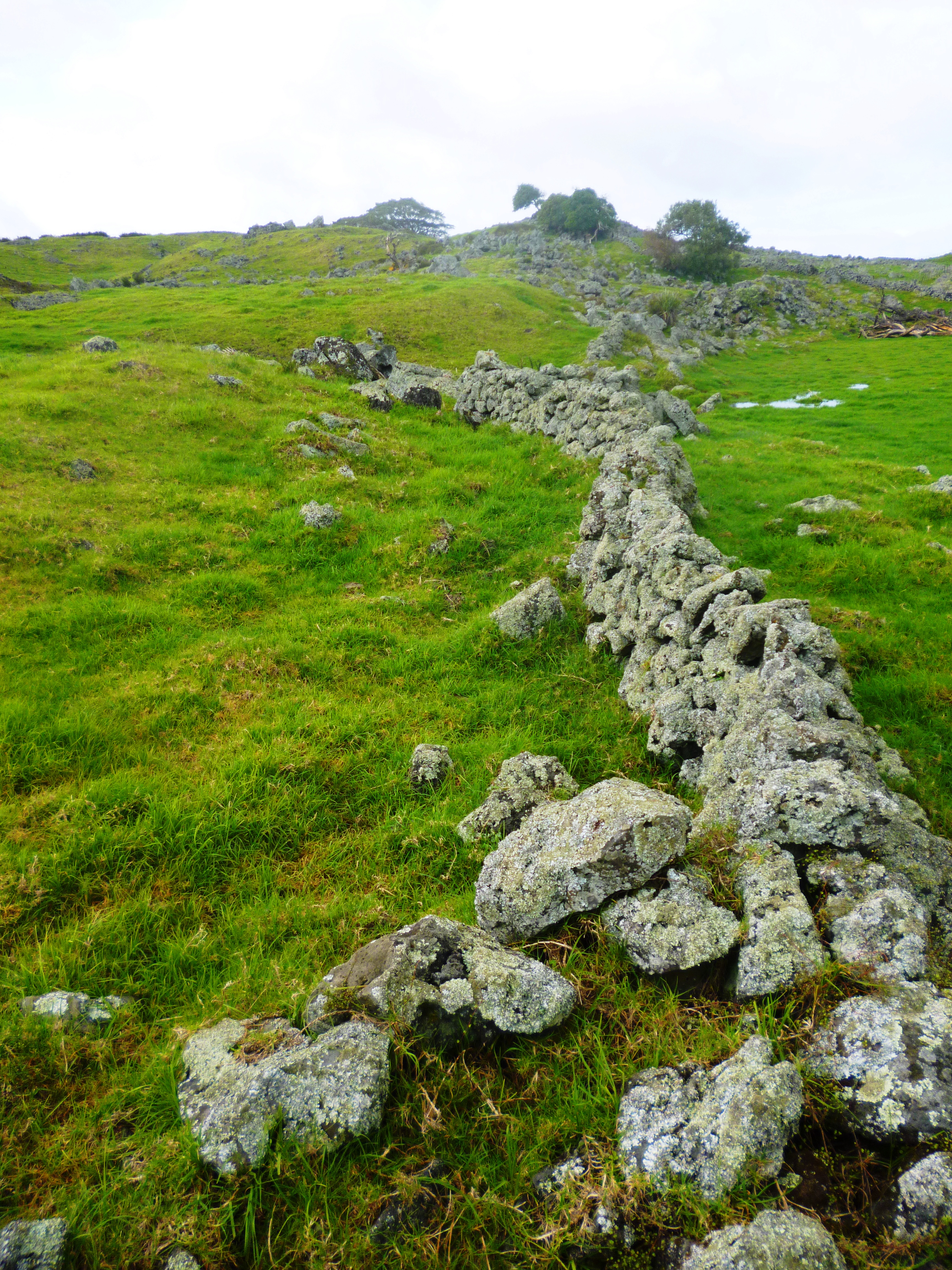
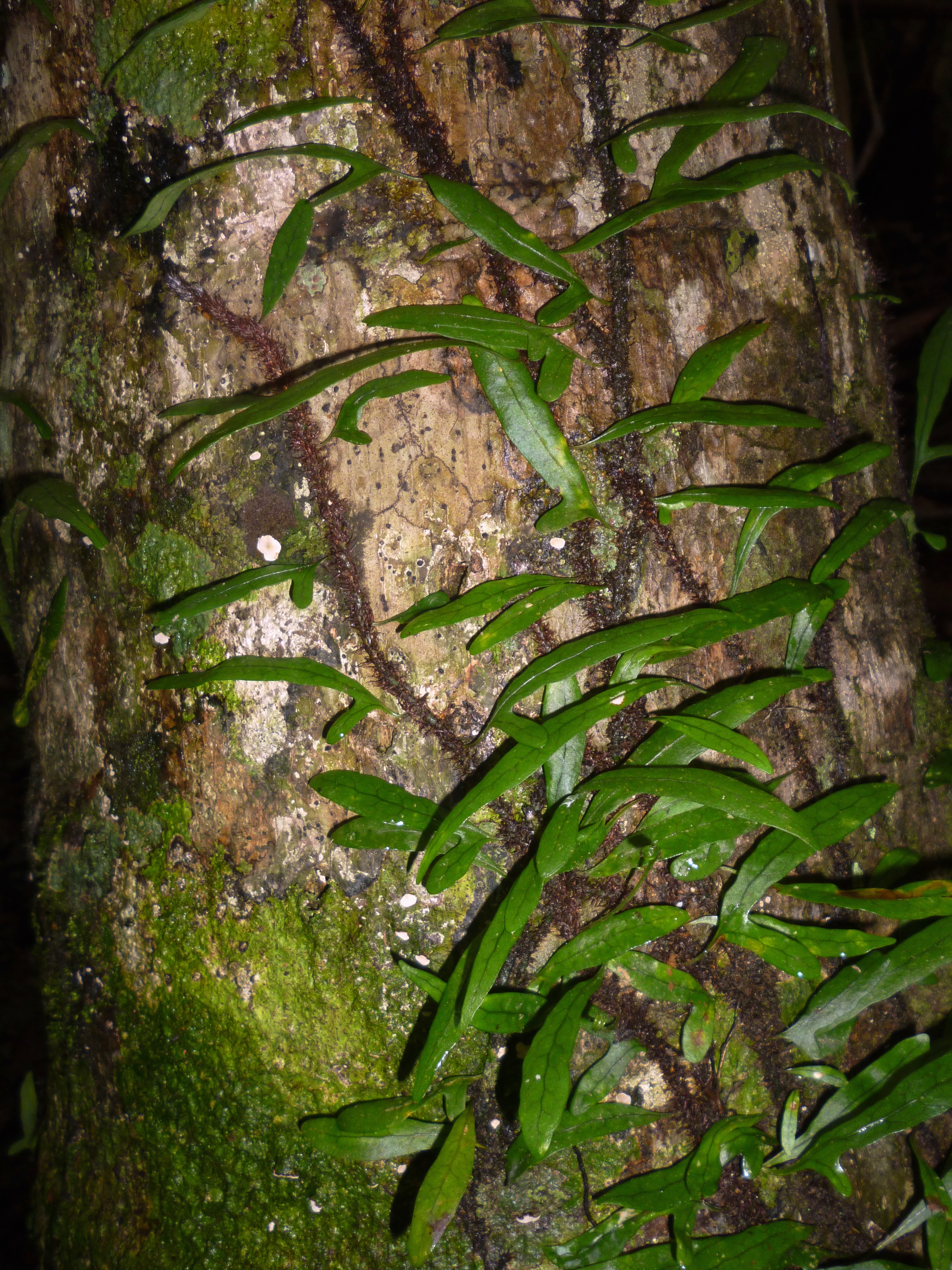
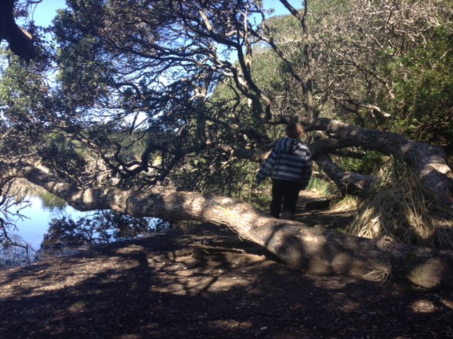
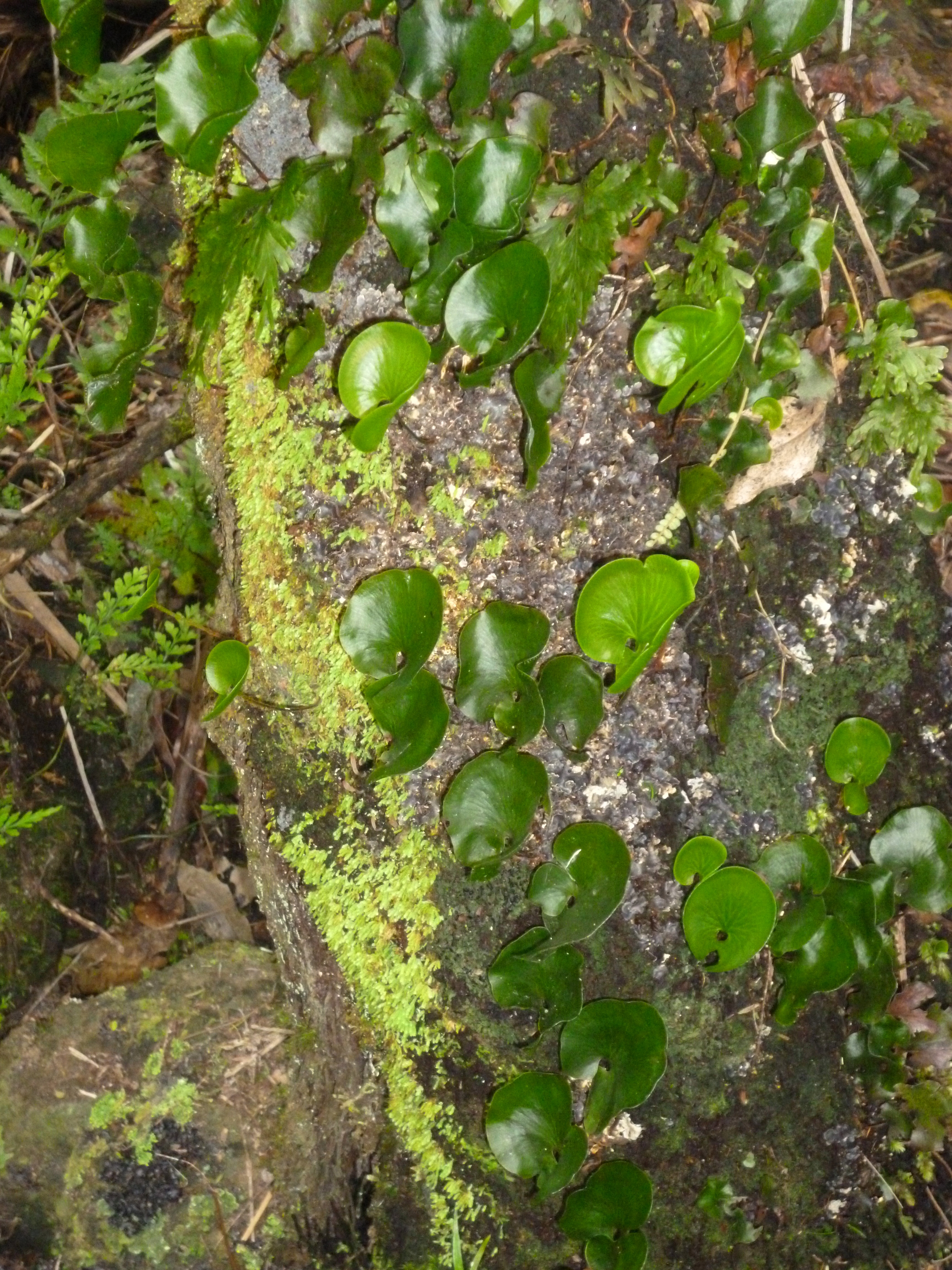
 The track was very steep and thickly vegetated, so there were only occasional glimpses of the views. We kept our heads down and slogged it out. We saw some of my favourite greenery at knee height. Aren’t these tiny, round leaves sweet?
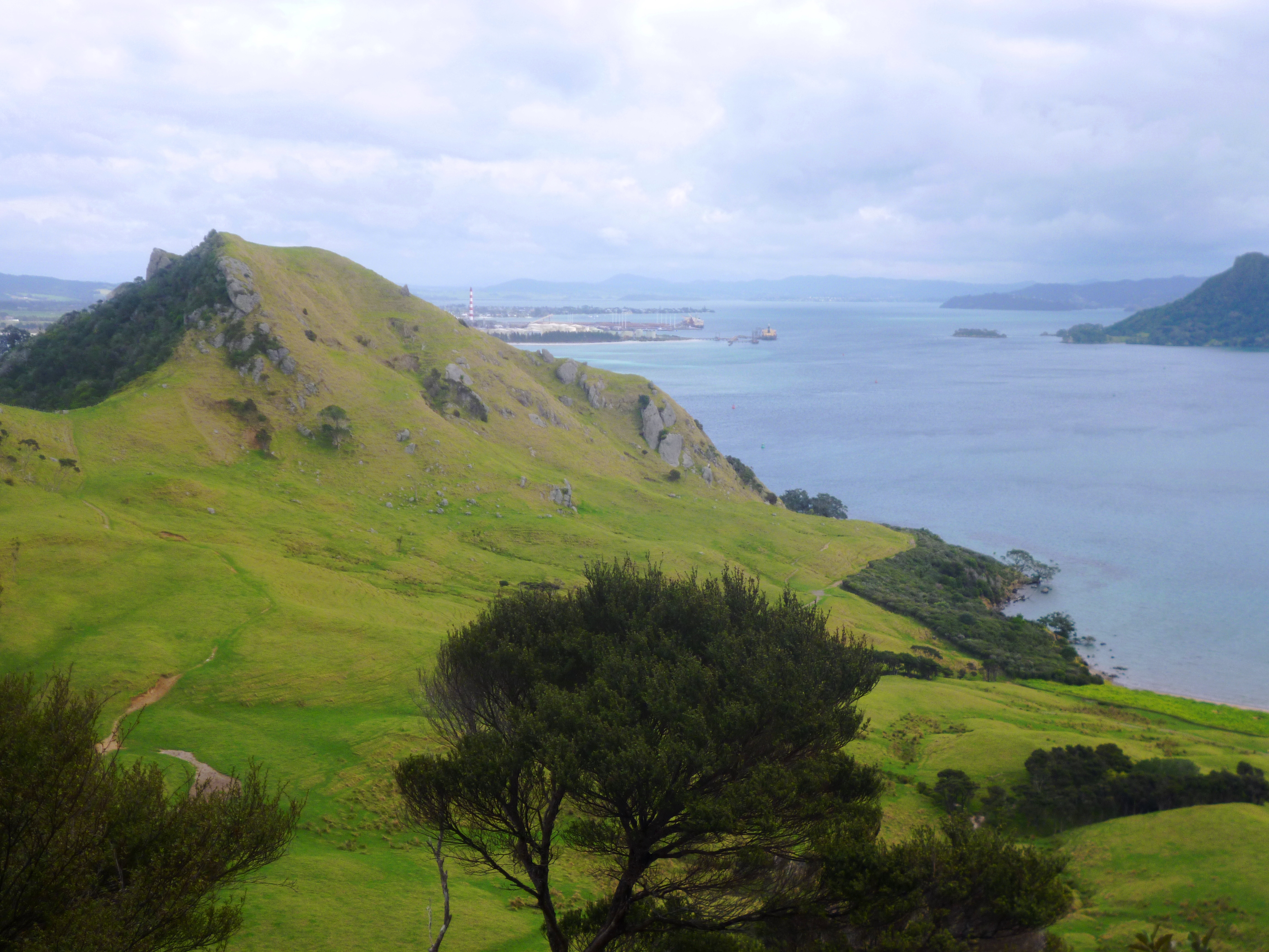
Where we did get a chance along the jagged ridgeline to look back where we had come and ahead to where we were going, we felt mighty impressed with ourselves. I don’t think these photos appropriately illustrate the effort needed for this trail 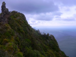 section.
We saw and heard a new bird on this mountain. It was flitting between branches in thick foliage, so we couldn’t get a clear view. It was about the size of a blackbird, had stripes on its sides and had a little feather hanging over its face (a bit like an avian version of a lantern fish). It said “Bwit”. This is not exactly a distinctive identifying call in the way “No-one expects the Spanish Inquisition” identifies Monty Python. I looked it up  when we got home. Turns out it is a common, introduced species: the California quail. It likes open country and riversides, so in fact the only unusual thing about it was its location today.
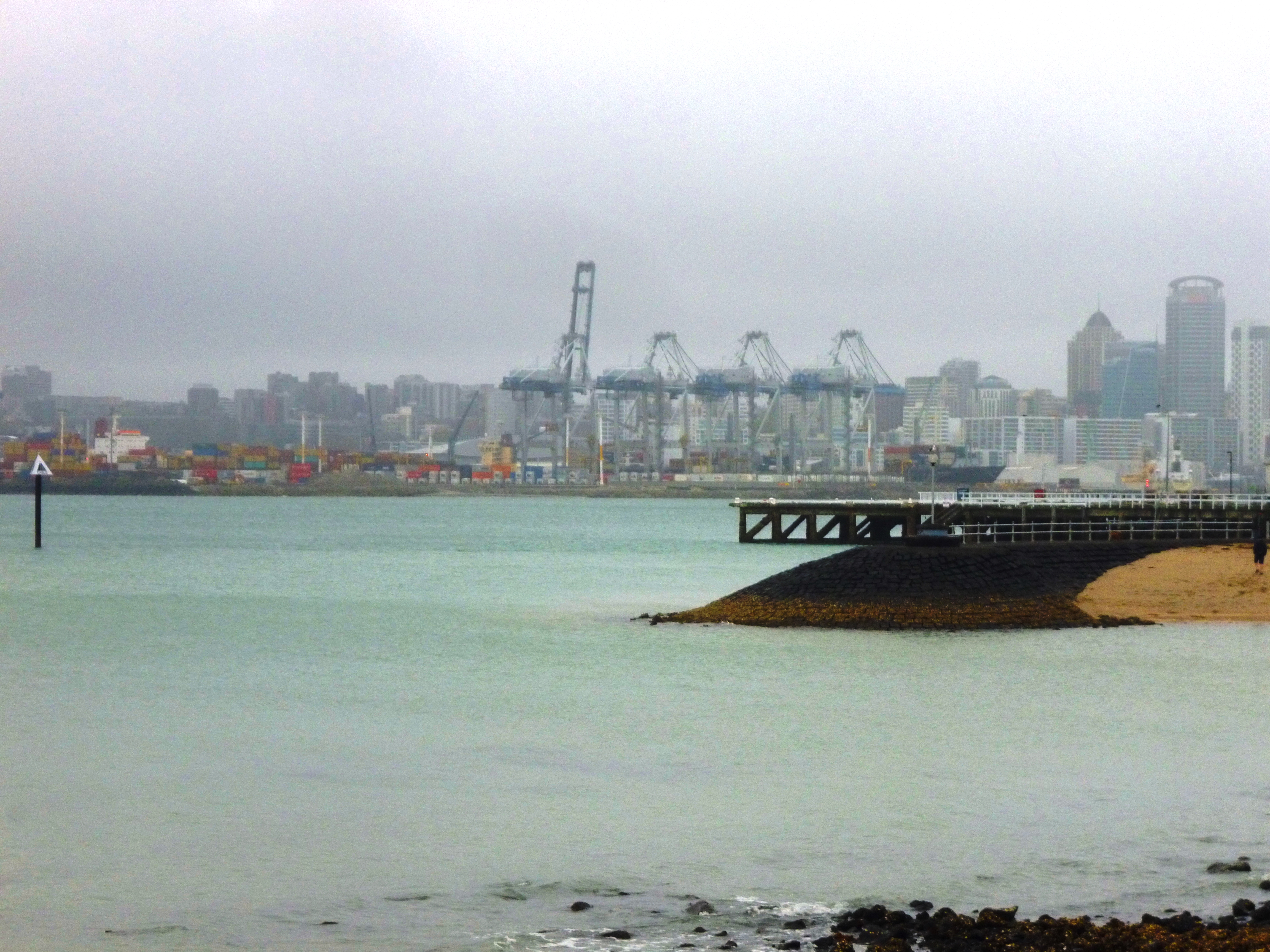
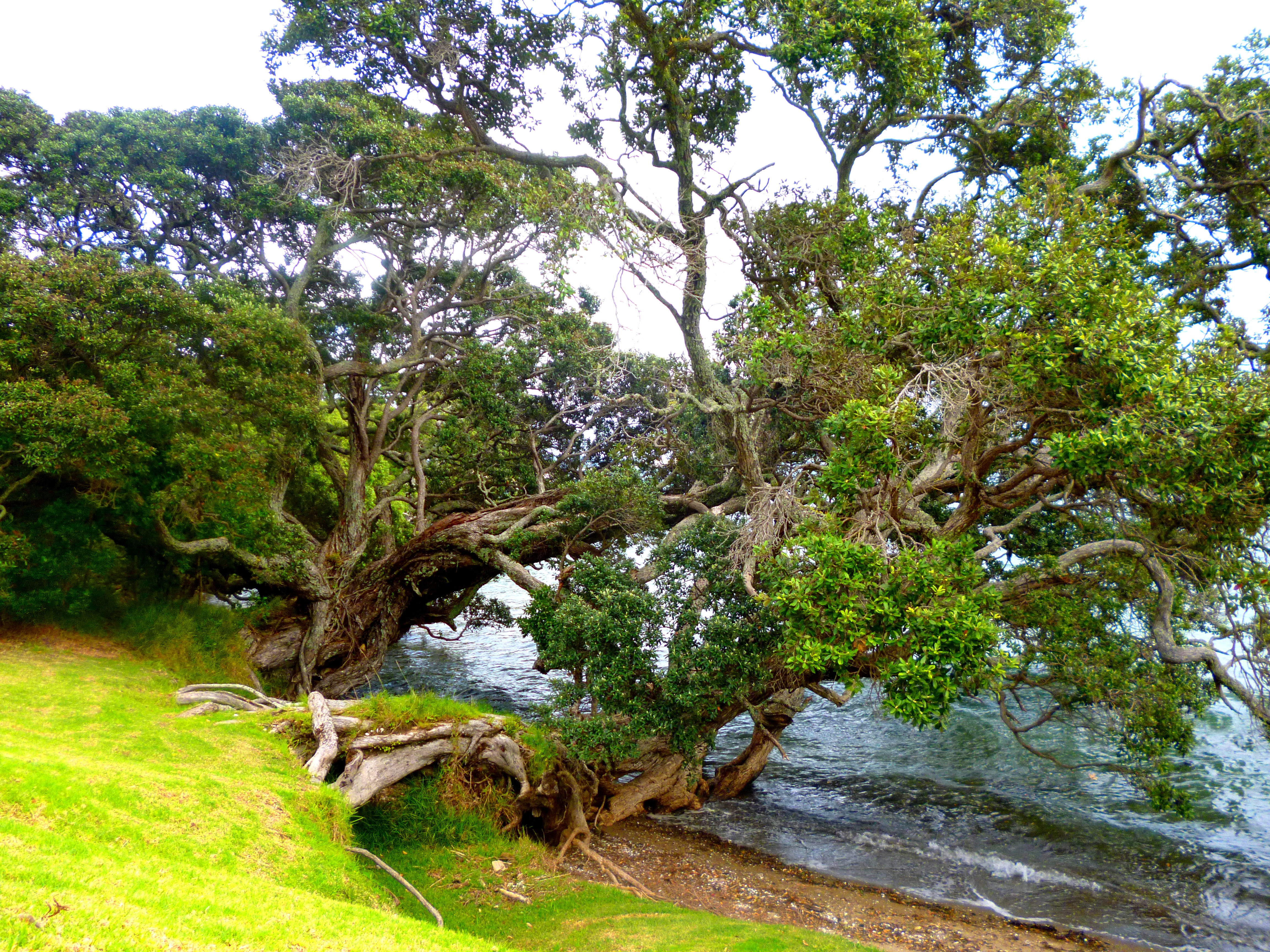
As we descended with trembling leg muscles to Urquhart’s Bay, we could see in the distance the oil refinery at Marsden Point, where we began our trial walk, Leg 0, on July 7. That was only eight weeks ago, but it seems like a previous incarnation now.
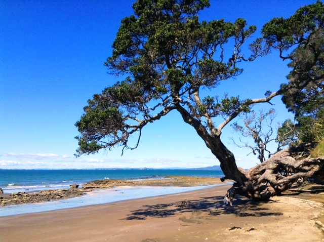
Urquhart’s Bay, like much of the coast, has fantastic pohutukawa trees. For readers not well acquainted with New Zealand, these trees have roots which writhe over rocks and find toeholds on cliffs like heroes in action dramas. The curved trunks of those close to the water kneel in the surf at high tide. Their canopies can reach a 30-metre diameter and red flowers appear in summer, making them an even more spectacular sight. In the right conditions, these trees can live up to 1000 years, so they are associated with endurance. They also have spiritual significance for the Maori.
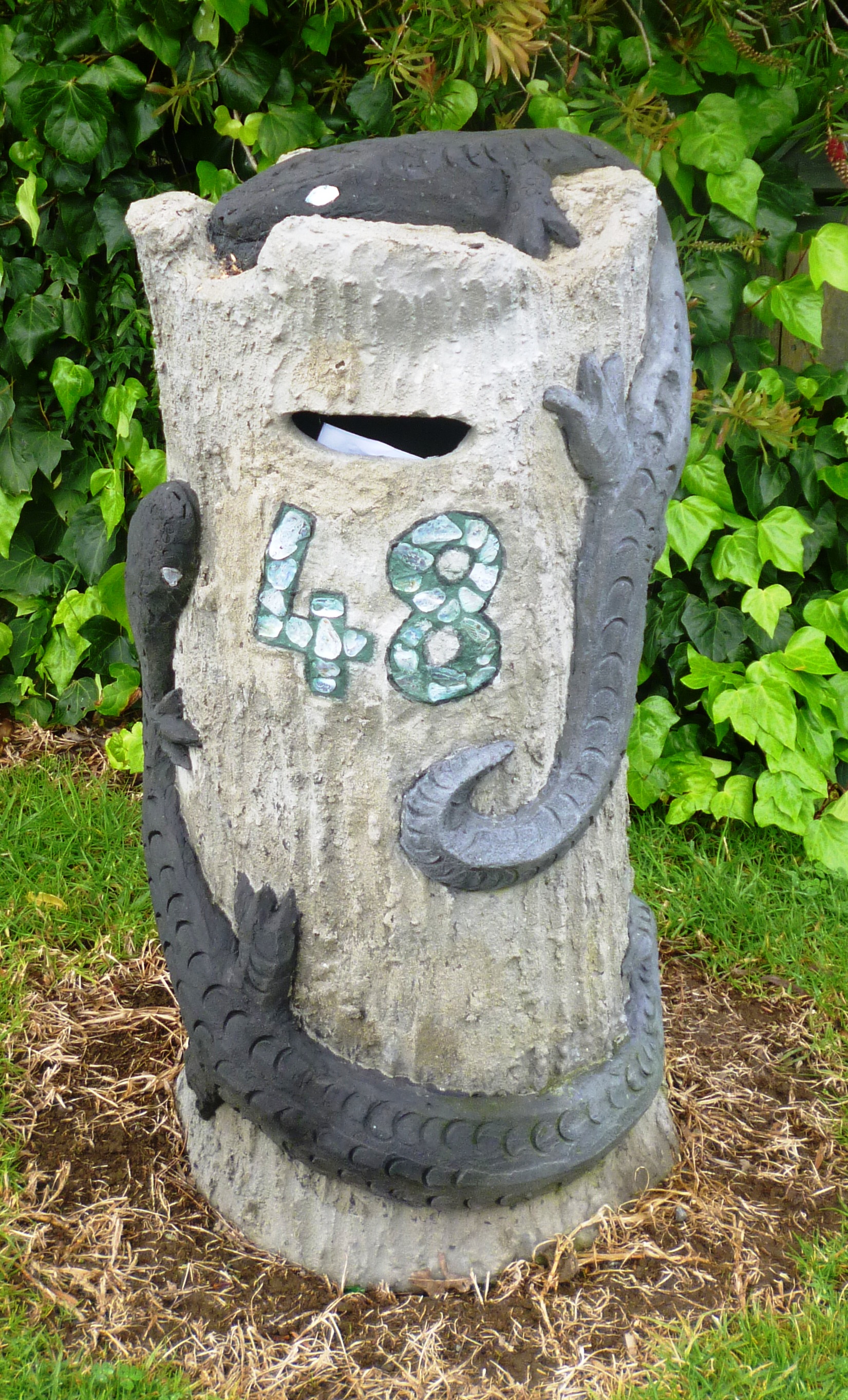
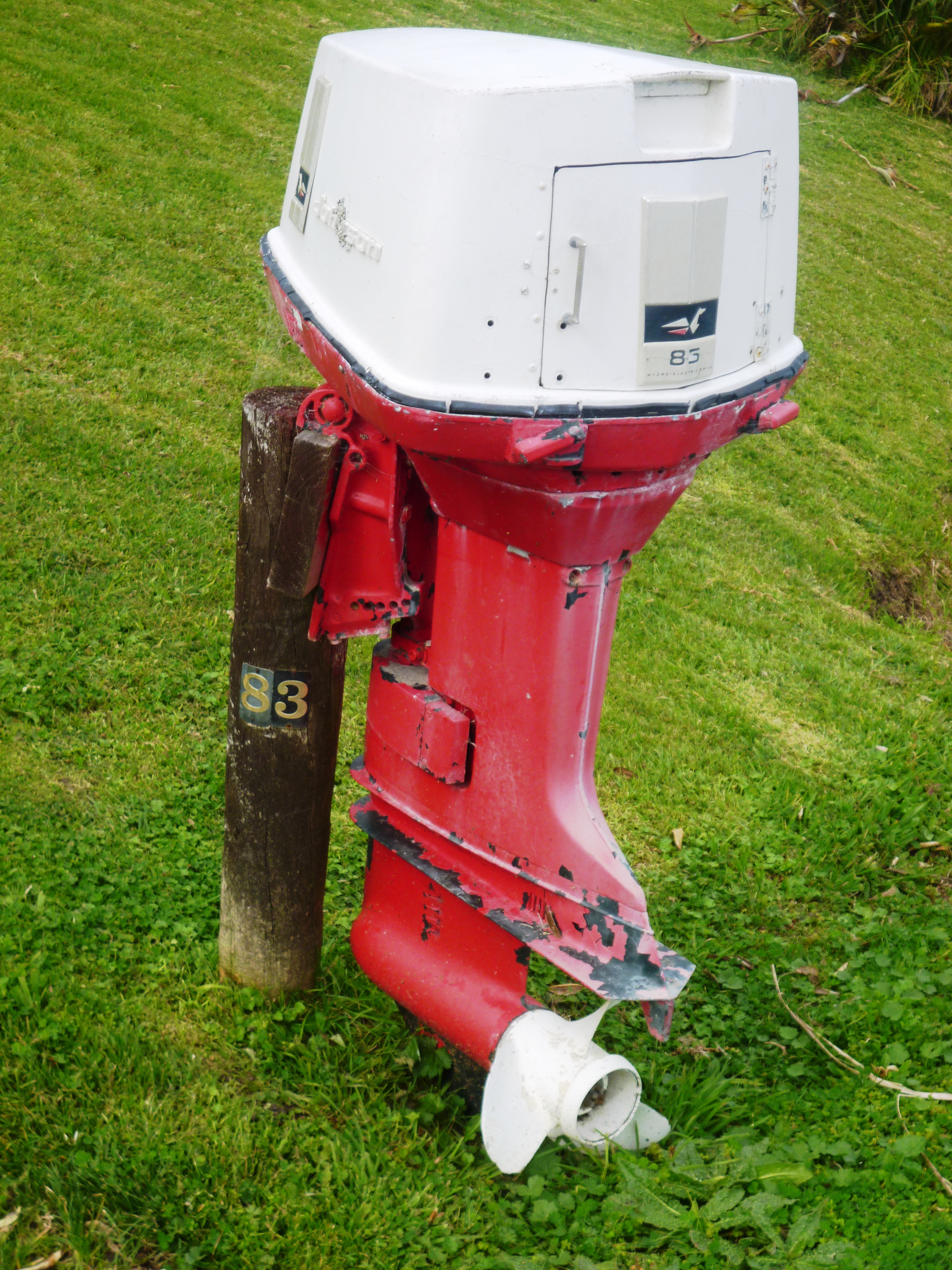
 In Urquharts’ Bay we found public toilets with a “living roof” of vegetation (seriously serious) and also this outboard motor postbox (seriously funny).
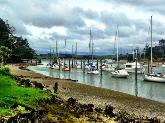
Trampers crossing to Marsden Point by boat can do so at any stage along the route from Urquhart’s Bay to Whangarei Heads. Since we had already done the Marsden section, we stopped walking today near Little Munroe Bay.
Well, on this leg we have covered either 47 km (according to the TA online map) or 59 km (according to the 3D map in Chapple’s book). I’ve recorded the online version of the distance here, to err on the side of caution, but my aching calves tell me Chapple is the one who is correct.
 Today, we did the Matakana loop,
 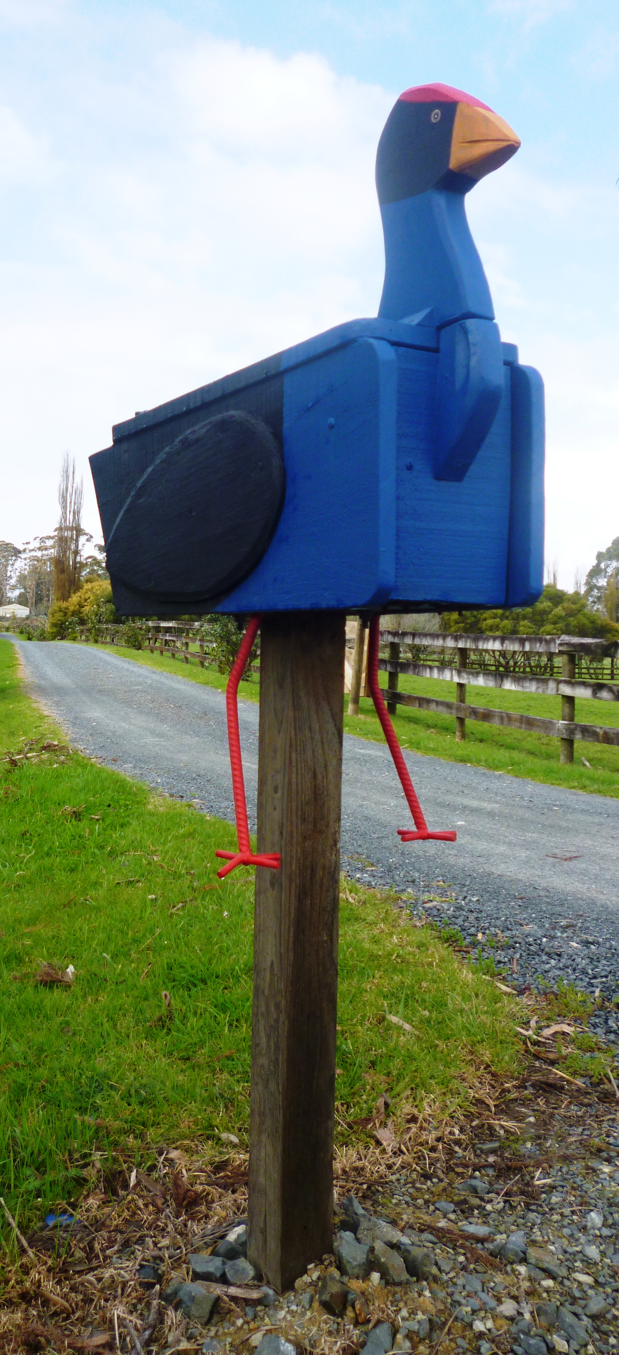 from where we were picked up on 3 August, to the start of the Dome Valley walk, which we did on 8 August. We could take Zoë with us because we were not crossing any farmland or DOC areas. The tramp was all on the road margin, which had the advantage of allowing us to expand our quirky postbox pics. We found the heaviest butterfly in the world and a pukeko with a facial expression indicating it was unable to make its mind up concerning the position of its supporting post.
 Highlight of the day was the public toilet. Since I raved about the Paihia toilet, it would be Inconsistent and also Very Wrong Indeed not to mention Matakana’s artistic public convenience. This photo doesn’t clearly show the doors, which are pointed like those in a gothic cathedral. The toilet has pride of place in the centre of the village at the traffic circle. It looks good enough to be a monument.
 “well” I mean
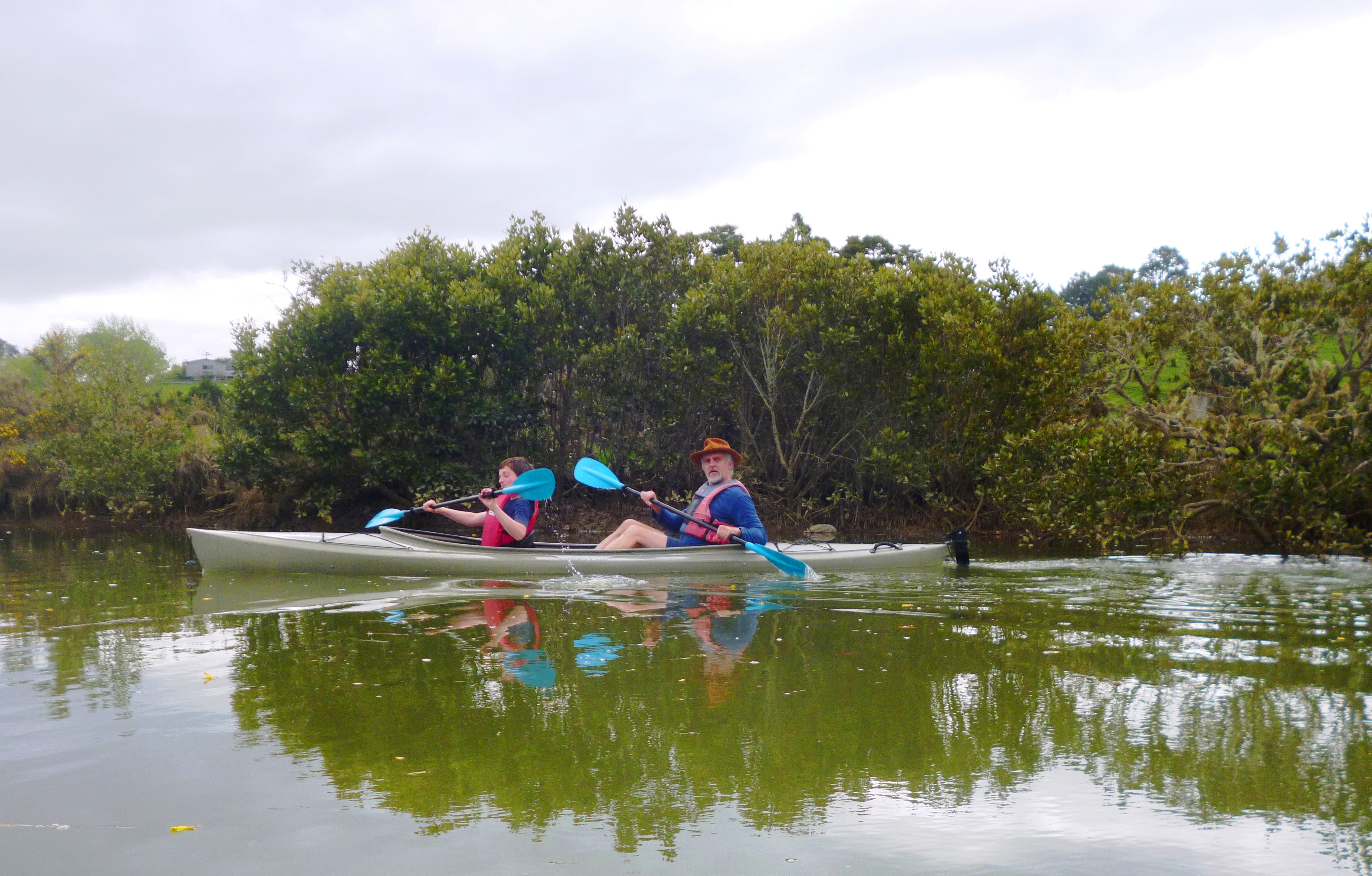
 The scenery starts in farmland and as you travel downstream, it includes mangroves. The water is olive green, but it is clean, and because we are out of Africa, there is no danger of bilharzia. As Africans, we truly appreciate the water being free of this potentially deadly parasite.