Legs 12 and 13
Click on image to view slideshow and on arrow to advance. Click on tiny grey X (top left) to exit slideshow.
-
- Near Bog Inn Hut
-
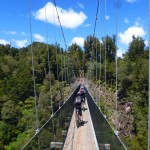
- Marius and Etienne on a Timber Trail suspension bridge
-
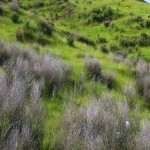
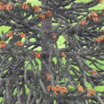
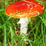
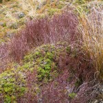
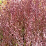
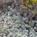
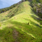
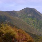
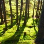
- Fisher Track.The shrubs look mauve from a distance
-
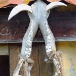
- Wild boar jawbone at Whakahoro’s Post Office Museum
-
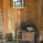
- Inside the Post Office
-
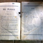
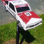
- The new car-owner’s pledge…Aw!
-
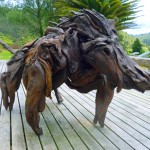
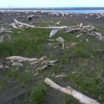
- Driftwood wild boar at the Blue Duck Central, Whakahoro
-
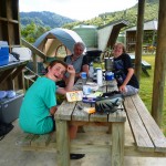
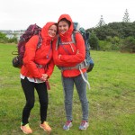
- Family members exercising their inalienable rights to look gormless while camping
-
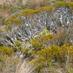
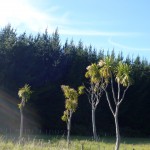
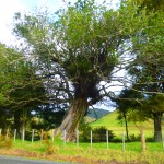
- Can anyone identify this tree?
-
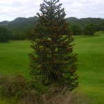
- Jurassic tree?
-
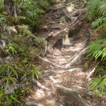
- Burtton’s Track. Thie picture does not indicate it, but there is a massive drop on the right hand side of the path
-
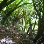
- Burtton’s Track: home of the gnome
Leg 11
Click on image to view slideshow and on arrow to advance. Click on tiny grey X (top left) to exit slideshow.
-
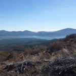
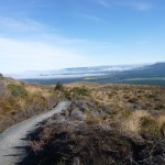
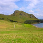
- Lake Rotoaira, viewed from the path near Ketetahi Hut
-
- From the ruined Ketetahi Hut
-
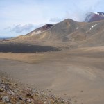
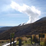
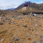
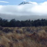
- Our first glimpse of Mount Nguaruhoe from the north
-
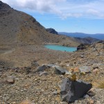
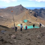
- The lowest Emerald Lake with a small cairn in the foreground. Walkers often make these little piles of stones.
-
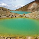
- Emerald Lakes
-
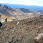
- Climbing Red Crater on loose stones and sand. In the background, you can see the path running from Emerald Lakes to Blue Lake
-
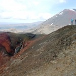
- Red Crater
-
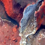
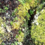
- Lava formation in Red Crater
-
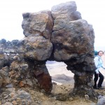
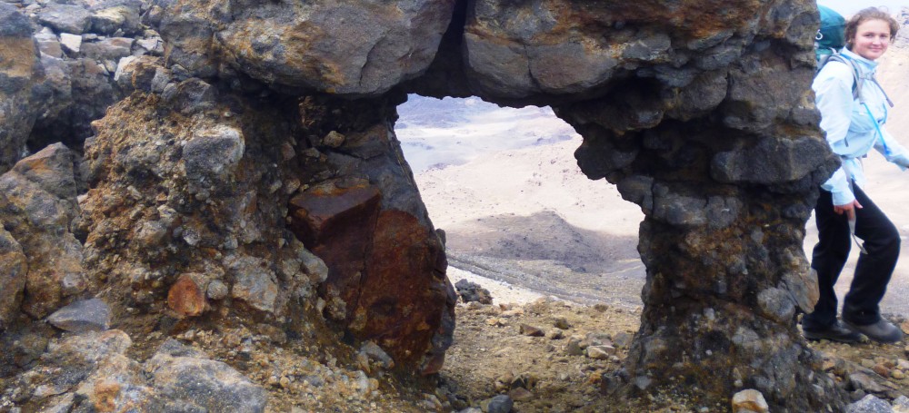
- We found this arched rock formation on the descent to South Crater
-
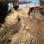
- Eroded path near Whakapapa
-
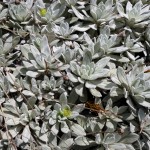
- Alpine plants
-
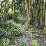
- Alpine forest path
-
- Koitiata beach
-
- Koitiata beach
Leg 10
Click on image to view slideshow and on arrow to advance. Click on tiny grey X (top left) to exit slideshow.
-
- Vicky Pollard’s gang
-
- West Hamilton
Legs 7, 8 and 9
Click on image to view slideshow and on arrow to advance. Click on tiny grey X (top left) to exit slideshow.
-
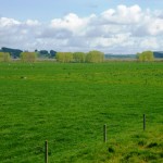
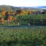
- Waikato farm, early morning
-
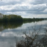
- Waikato River, early morning
-
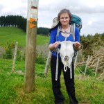
- We found plenty more of skulls on the land near the river
-
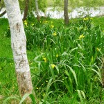
- Irises on the river bank
-
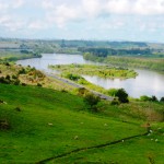
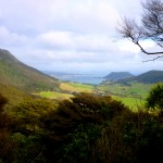
- First view of the Waikato River from the hill behind Mercer
-
- South of Mercer
-
- From the Mangatawhiri stopbank
-
- Copse of sitting down trees on the Mangatawhiri River Track
-
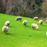
- Wairoa Dam face. Sheep like it
Leg 6
Click on image to view slideshow and on arrow to advance. Click on tiny grey X (top left) to exit slideshow.
-
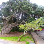
- Ancient pohutukawa tree – amazing trunk
-
- Pohutukawa tree – amazing roots
-
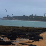
- Kite-surfers at Takapuna
-
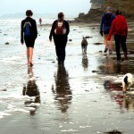
- North Shore solidarity walkers, including dogs
-
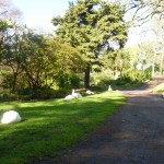
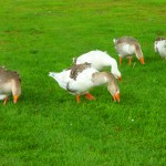
- Geese at the Auckland domain
-
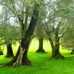
- Ancient olive trees at Cornwall Park
-
- Ambury Park
-
- On Ihumataoa Quarry Road
Legs 4 and 5
Click on image to view slideshow and on arrow to advance. Click on tiny grey X (top left) to exit slideshow.
-
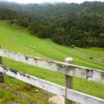
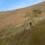
- Near Teal Bay. This picture is inadequate to indicate the angle of the incline. We were pooped!
-
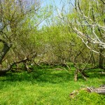
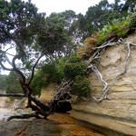
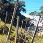
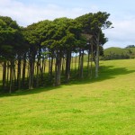
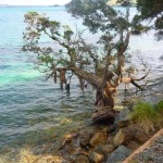
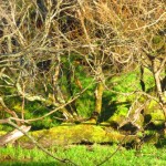
- Near Mimiwhangata. We saw many of these old and beautiful trees, used by other plants as glamorous apartments. The trees have small magenta flowers.
-
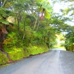
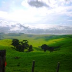
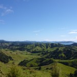
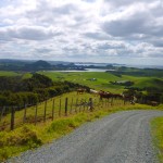
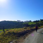
- Farm road near Mimiwhangata. The photo does not do justice to the shade of green.
-
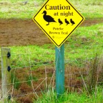
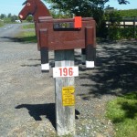
- Official Teal Bay priorities.
-
- Near the junction of Mimiwhangata and Kaiikanui Rds.
-
- Between Whananaki and Matapouri.
-
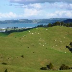
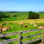
- Farm at Whananaki. Those are Charolais cattle, I think. They are huge, so we were pleased they were in the paddock on the hill opposite us.
-
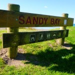
- Like RSA, NZ has a “Sandy Bay”. Unlike RSA, it is not a nudist beach.
-
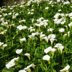
- Lilies near Whangarei
-
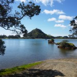
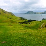
- Pataua North estuary
-
- Looking back towards the Taiharuru River estuary
-
- Towards the Kauri Mountain trail
-
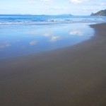
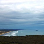
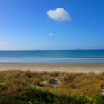
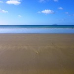
- Ocean Beach
-
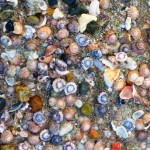
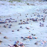
- Shells on Ocean Beach
-
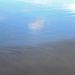
- Ocean Beach
-
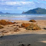
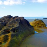
- Bream Head
-
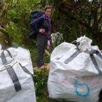
- On the ridge, material dropped by the helicopter
-
- Looking ahead to Marsden Point
-
- Towards Urquhart Bay
-
- Urquhart’s Bay
-
- Pohutukawa tree near Urquhart’s Bay
Leg 3
Click on image to view slideshow and on arrow to advance. Click on tiny grey X (top left) to exit slideshow.
-
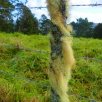
- More wellies
-
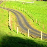
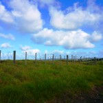
- Fences and wiggly roads. Lovely patterns
-
- Arwen did not make an appearance, but she was expected…
-
- Could this be New Zealand, by any chance?
-
- A fencepost called Gandalf (Dunn’s Track)
-
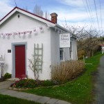
- Not to be outdone by Kaipara Flats, Puhoi also has a very sweet, tiny library
Leg 2
Only one photo; after 24 hours the weather was too wicked
-
- Starting at Mangawhai Surf Club.
Leg 1
Click on image to view slideshow and on arrow to advance. Click on tiny grey X (top left) to exit slideshow.
-
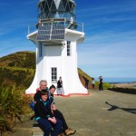
- Marius, Hannah and Etienne at the Cape Reinga lighthouse
-
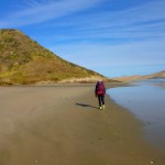
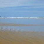
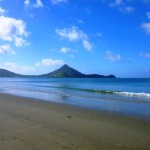
- Beach just south of the lighthouse
-
- Just before we got lost for the first time…
-
- The dune is huge
-
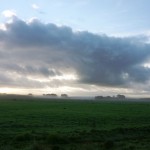
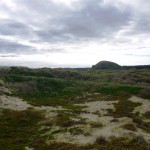
- The light can make the landscape look bleak
-
- From Scott Point, looking towards the rock with the hole
-

- With Zoe (best dog in New Zealand)
-
- Getting closer to the rock with the hole
-
- The hill at Hukatere
-
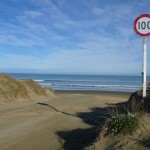
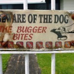
- Speed limit on the beach (!)
-
- Yes – seriously! You can lose your car.
-
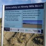
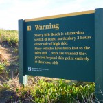
- Another exhortation to be good
Leg 0
Click on image to view slideshow and on arrow to advance. Click on tiny grey X (top left) to exit slideshow.
-
- Near Marsden Point
-
- Near Marsden Point
-
- South of Marsden Point
-
- South of Marsden Point
-
- Near Ruakaka.
-
- Farmland on the way to Mangawhai cliffs
-
- Mangawhai beach
This all so beautiful! I wish I could be there with you.
I just love and enjoy the exquisite photos you take xxx
Thanks dear soul. Do the Waikato ones look hugely familiar?